Hail history in Virginia
We counted the days with NOAA hail reports within 15 miles of the center of 4 Virginia cities since 2010.
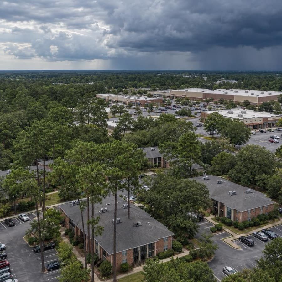
- Hail days near Roanoke since 2010, the most in Virginia
- 61
- Largest hail reported, near Richmond
- 2.4 in
- Virginia cities tracked
- 4
Source: NOAA/NWS Storm Prediction Center
Data through November 1, 2026
Virginia cities by hail days
Source: NOAA/NWS Storm Prediction Center
Data through November 1, 2026
| City | Hail days since 2010 | Largest hail |
|---|---|---|
| Roanoke | 61 | 2.0 in |
| Lynchburg | 50 | 1.75 in |
| Richmond | 36 | 2.4 in |
| Virginia Beach | 20 | 1.75 in |
About this data
- Each city counts reports within 15 miles of its center, not of any one property.
- Reports come from trained spotters and the public, so they cluster near towns and roads.
- No report does not mean no hail. Hail can fall where no one is there to report it.
- This is not a damage or insurance assessment.
Storm risk in Virginia
For commercial and multifamily buildings in Virginia, damaging thunderstorm wind and flooding are the most frequent storm risks, followed by hail, tropical storms and hurricanes, tornadoes, and winter storms in the mountains. The state's conservation agency calls flooding Virginia's most common and costly natural disaster, and Virginia was affected by 116 of the 403 billion-dollar disaster events in the US from 1980 to 2024.9,8
How often storms hit Virginia
| Hazard | How often | What it means for buildings |
|---|---|---|
| Damaging thunderstorm wind | Damaging wind reports on 49 days a year on average within 124 nautical miles of the Roanoke radar, 48 around the Sterling radar and 45 around the Wakefield radar (1980 to 2006). | Straight-line gusts peel roof edges and membranes, shift rooftop units and bring trees down on buildings and parking. |
| Hail | Hail days since 2010 within 15 miles of the city center: Roanoke 61, Lynchburg 50, Richmond 36, Virginia Beach 20, with stones up to 2.4 inches near Richmond. Hail reports on 35 days a year on average around the Roanoke radar (1980 to 2006). | Roof covers, skylights and rooftop HVAC condenser fins take the hits, and the same roof can be struck more than once in a season. |
| Flooding | 108,500 structures sit in Virginia's regulatory floodplains (2023). Sea level rose about 10 inches from 1970 to 2020, and high-tide floods have become more frequent. | Tidal water reaches inland to Richmond, Fredericksburg, Alexandria and Arlington, and FEMA says about 40 percent of NFIP claims come from outside high-risk flood areas. |
| Hurricanes and tropical storms | 12 hurricanes struck Virginia directly from 1851 to 2018, 10 of them Category 1. | Coastal buildings face wind, windborne debris and storm surge; storms that move inland bring heavy rain, flooding and tornadoes far from the coast. |
| Tornadoes | Tornado reports on 11 days a year on average around the Wakefield and Sterling radars and 7 around the Roanoke radar (1980 to 2006). At any one point near the Wakefield radar, the yearly chance of a tornado is 0.018 percent. | Most are weak, but strong ones destroy buildings. In the NWS Blacksburg area, 14 percent of tornadoes from 1950 to 2013 came from tropical storms. |
| Winter storms | Annual snowfall ranges from more than 45 inches in the Appalachian Mountains to less than 10 inches on the coastal plain. | Drifts at parapets and rooftop units add load, ice traps meltwater around roof drains, and IBHS calls burst pipes the leading cause of winter property damage. |
The city counts are days with at least one hail report within 15 miles of each city's center since 2010, so they show how often hail falls near a city, not on one building. The Storm Prediction Center radar figures cover a much larger circle, 124 nautical miles around each radar, and come from 1980 to 2006 reports.1,2,3,4
For an owner, the pattern matters more than any one storm. Wind and hail cause frequent, repeat damage to roofs and rooftop equipment, while hurricanes, floods and tornadoes are rarer at any one address but cause the largest single losses. Flood risk does not stop at the coast or at the map line.
Rules owners in Virginia should know
- Insurer of last resort: the Virginia Property Insurance Association sells basic property insurance on qualified property anywhere in the state that isn't used for manufacturing, up to $1,000,000 per location for commercial property and $500,000 for 1 to 4 family dwellings. A member insurer that cancels or nonrenews eligible property must give the policyholder 30 days to apply and explain how.13
- Proof of loss and suit deadline: the Virginia standard fire policy, which fire and combined property policies must follow, calls for a sworn proof of loss within 60 days unless the insurer extends it in writing, makes the loss payable 60 days after proof of loss and agreement on the amount, and bars suit unless it starts within two years after the loss (Va. Code 38.2-2100 and 38.2-2105).14,15
- Claim timing: within 15 calendar days after a properly executed proof of loss, the insurer must accept or deny the claim or explain why it needs more time, and an open investigation needs a written status notice every 45 days. Denials must be in writing and cite the policy provision relied on (14VAC5-400-60 and 14VAC5-400-70).16,17
- Assignment of claims: under a fire or combined property policy, the insured can't assign the rights or benefits of a claim to anyone else without the insurer's written consent, and such a contract term is void. The insured may still direct payment to a contractor for covered work (Va. Code 38.2-2131, enacted 2025).18
- Limit changes: once a commercial property policy has been in effect 60 days, the insurer can't issue an endorsement raising or lowering the amount of coverage without the first named insured's written consent (Va. Code 38.2-2108.1).19
- Tenant flood notice: a residential landlord whose lease doesn't require renter's insurance must give tenants written notice before signing that the landlord's insurance doesn't cover their belongings, that renter's insurance doesn't cover flood, and where to check whether the property is in a special flood hazard area (Va. Code 55.1-1206).20
- Building code: the Virginia Uniform Statewide Building Code governs construction across the state, and its 2021 edition, based on the 2021 International Codes, took effect January 18, 2024. Storm repairs and new roofs permitted since then follow that edition.21
Before the next storm
- Evacuation zones: on the coast, look up each property's zone, A through D, on VDEM's Know Your Zone map, which covers 23 localities in Hampton Roads, the Northern Neck, the Middle Peninsula and the Eastern Shore, so staff and residents know when an order applies to them.22
- Wind coverage timing: make wind coverage changes before storms form. Hurricane season runs June 1 to November 30, and the Virginia Property Insurance Association takes no new or increased windstorm coverage while a hurricane watch or warning is in effect for any part of the state.23,13
- Flood zone check: enter each address in DCR's Virginia Flood Risk Information System to see whether it sits in a special flood hazard area, and allow for the 30-day wait FEMA says a new NFIP policy typically has.9,24
- Hail-rated roofs: when reroofing, IBHS calls for low-slope covers rated FM 4470 Class 1-SH or UL 2218 Class 4 in hail-prone areas, hail-rated skylights and hail guards over condenser fins, since Roanoke has logged 61 hail days since 2010.25,1
- Roof edges: IBHS calls for edge flashing and coping that meet ANSI/SPRI/FM 4435/ES-1 for the site's design wind pressures, and a peel-stop 1 to 2 feet in from the edge of single-ply membranes, to hold the roof perimeter in strong gusts.25
Sources
Written by the Cloudbreak team. Numbers, dates and rules cite the published sources below.
- 1. Cloudbreak: NOAA/NWS Storm Prediction Center storm reports, as counted on the Cloudbreak hail history page for Virginia
- 2. NOAA Storm Prediction Center: FCX (Roanoke) Severe Weather Climatology, 1980 to 2006
- 3. NOAA Storm Prediction Center: LWX (Sterling) Severe Weather Climatology, 1980 to 2006
- 4. NOAA Storm Prediction Center: AKQ (Wakefield) Severe Weather Climatology, 1980 to 2006
- 5. NOAA Hurricane Research Division (Chris Landsea, NHC): TCFAQ E19: How many direct hits by hurricanes of various categories have affected each state?
- 6. NWS Blacksburg: Severe Weather Climatology for the Blacksburg, VA WFO County Warning Area (updated through 2013)
- 8. NOAA NCEI and North Carolina Institute for Climate Studies: Virginia: 2025 State Climate Summaries
- 9. Virginia Department of Conservation and Recreation: Virginia Flood Awareness
- 10. Virginia Department of Conservation and Recreation: Flooding in the Commonwealth: Presentation to the Virginia Housing Commission (June 5, 2024)
- 11. Insurance Institute for Business & Home Safety (IBHS): Commercial Risk Engineering Bulletin: Winter Weather
- 13. Virginia Property Insurance Association: Manual of Operational Procedures (October 2025 revision)
- 14. Virginia General Assembly: Va. Code 38.2-2105, Standard provisions, conditions, stipulations and agreements for fire insurance policies
- 15. Virginia General Assembly: Va. Code Title 38.2, Chapter 21: Fire Insurance Policies (38.2-2100 and 38.2-2101)
- 16. State Corporation Commission, Bureau of Insurance (Virginia Administrative Code): 14VAC5-400-60, Standards for prompt investigation of claims
- 17. State Corporation Commission, Bureau of Insurance (Virginia Administrative Code): 14VAC5-400-70, Claims settlement standards applicable to all insurers
- 18. Virginia General Assembly: Va. Code 38.2-2131, Assignment of claims prohibited
- 19. Virginia General Assembly: Va. Code 38.2-2108.1, Commercial fire insurance policies; changes to amount of coverage
- 20. Virginia General Assembly: Va. Code 55.1-1206, Landlord may obtain certain insurance for tenant
- 21. Virginia Department of Housing and Community Development: Codes: 2021 Virginia Codes effective Jan. 18, 2024
- 22. Virginia Department of Emergency Management: Know Your Zone
- 23. NOAA National Hurricane Center: Tropical Cyclone Climatology
- 24. FEMA: Flood Insurance
- 25. Insurance Institute for Business & Home Safety (IBHS): Commercial Roofs Best Practices Guide
Storms in Virginia
Around the Roanoke, Wakefield and Sterling radars, SPC counts for 1980 to 2006 show hail reports peaking in May and damaging wind reports peaking in July.1,2,3 On average, a tropical storm or hurricane, or what is left of one, affects Virginia about once a year.4
Notable storms
- August 7, 2023Hail up to 4 inches across, softball size, fell near Fort A.P. Hill in Caroline County, and 2.75-inch hail fell near Etta. Earlier that day, 3-inch hail fell near Swoope in Augusta County.5,6,7
- July 29, 2023Thunderstorm winds brought down hundreds of trees in Arlington and Alexandria, dozens in Arlington and many in Alexandria landing on cars and houses. NOAA's Storm Events Database lists $10 million in property damage in each. Near Montclair in Prince William County, a tree fell on a house and killed a resident.8,9,10
- April 30, 2023An EF3 tornado crossed Virginia Beach on a 4.5-mile path, shifting several homes off their foundations and tearing off roofs and upper walls. The City of Virginia Beach counted about 115 homes damaged and 11 destroyed, and NOAA's Storm Events Database lists $20 million in damage.11
- March 27, 2021Hail 2 inches across caused widespread damage around Hillsville in Carroll County, including to many cars, and several roofs needed repairs. NOAA's Storm Events Database lists $1 million in property damage there. Hail 1.75 inches across also caused cosmetic damage to roofing and vehicles near Willis in Floyd County.12,13
- April 15, 2018An EF3 tornado with peak winds estimated at 150 mph tracked 25.8 miles from Timberlake across the west side of Lynchburg to northwest of Amherst, badly damaging dozens of homes in Amherst County and injuring 12 people. Earlier that day, hail up to 2.5 inches across fell near Fancy Gap.14,15
- February 24, 2016An EF3 tornado near Appomattox destroyed 30 structures, damaged 160 others and killed 1 person. An EF1 tornado through Waverly killed 3, and an EF3 tornado in Essex County near Tappahannock injured 25. Hail up to 3 inches across fell in Mecklenburg County.16,17,18,19
Warnings and alerts
NWS offices in Wakefield, Blacksburg and Baltimore/Washington cover most of Virginia, and the Knoxville/Tri-Cities and Charleston, W.Va., offices cover parts of the far southwest.20
Sources
- 1. NOAA Storm Prediction Center: FCX Severe Weather Climatology (Roanoke radar, 1980 to 2006)
- 2. NOAA Storm Prediction Center: AKQ Severe Weather Climatology (Wakefield radar, 1980 to 2006)
- 3. NOAA Storm Prediction Center: LWX Severe Weather Climatology (Sterling radar, 1980 to 2006)
- 4. North Carolina Institute for Climate Studies, NC State University: Virginia: 2025 State Climate Summaries
- 5. NOAA NCEI: Storm Events Database: Caroline County hail near Fort A.P. Hill, August 7, 2023
- 6. NOAA NCEI: Storm Events Database: Caroline County hail near Etta, August 7, 2023
- 7. NOAA NCEI: Storm Events Database: Augusta County hail near Swoope, August 7, 2023
- 8. NOAA NCEI: Storm Events Database: Arlington County thunderstorm wind, July 29, 2023
- 9. NOAA NCEI: Storm Events Database: City of Alexandria thunderstorm wind, July 29, 2023
- 10. NOAA NCEI: Storm Events Database: Prince William County thunderstorm wind near Montclair, July 29, 2023
- 11. NOAA NCEI: Storm Events Database: Virginia Beach tornado, April 30, 2023
- 12. NOAA NCEI: Storm Events Database: Carroll County hail around Hillsville, March 27, 2021
- 13. NOAA NCEI: Storm Events Database: Floyd County hail near Willis, March 27, 2021
- 14. NWS Blacksburg: April 15, 2018 Tornadoes
- 15. NOAA NCEI: Storm Events Database: Carroll County hail near Fancy Gap, April 15, 2018
- 16. NOAA NCEI: Storm Events Database: Appomattox County tornado, February 24, 2016
- 17. NOAA NCEI: Storm Events Database: Sussex County tornado near Waverly, February 24, 2016
- 18. NOAA NCEI: Storm Events Database: Essex County tornado, February 24, 2016
- 19. NOAA NCEI: Storm Events Database: Mecklenburg County hail, February 24, 2016
- 20. NWS Eastern Region: Virginia County Warning Forecast Areas
Hail history in other states
- Alabama
- Alaska
- Arizona
- Arkansas
- California
- Colorado
- Connecticut
- District of Columbia
- Florida
- Georgia
- Hawaii
- Idaho
- Illinois
- Indiana
- Iowa
- Kansas
- Kentucky
- Louisiana
- Maine
- Maryland
- Massachusetts
- Michigan
- Minnesota
- Mississippi
- Missouri
- Montana
- Nebraska
- Nevada
- New Hampshire
- New Jersey
- New Mexico
- New York
- North Carolina
- North Dakota
- Ohio
- Oklahoma
- Oregon
- Pennsylvania
- Rhode Island
- South Carolina
- South Dakota
- Tennessee
- Texas
- Utah
- Washington
- West Virginia
- Wisconsin
- Wyoming