Hail history in North Dakota
We counted the days with NOAA hail reports within 15 miles of the center of 2 North Dakota cities since 2010.
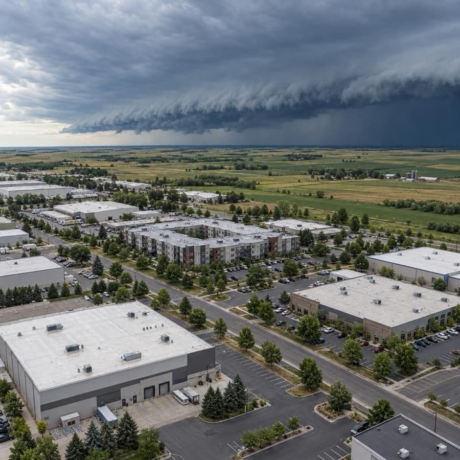
- Hail days near Bismarck since 2010, the most in North Dakota
- 66
- Largest hail reported, near Bismarck
- 4.5 in
- North Dakota cities tracked
- 2
Source: NOAA/NWS Storm Prediction Center
Data through November 1, 2026
North Dakota cities by hail days
Source: NOAA/NWS Storm Prediction Center
Data through November 1, 2026
| City | Hail days since 2010 | Largest hail |
|---|---|---|
| Bismarck | 66 | 4.5 in |
| Fargo | 48 | 4.0 in |
About this data
- Each city counts reports within 15 miles of its center, not of any one property.
- Reports come from trained spotters and the public, so they cluster near towns and roads.
- No report does not mean no hail. Hail can fall where no one is there to report it.
- This is not a damage or insurance assessment.
Storm risk in North Dakota
Hail is the storm risk that matters most for buildings in North Dakota, followed by damaging thunderstorm wind, spring river floods and severe winter storms, with tornadoes a smaller but real threat. North Dakota, with South Dakota and Nebraska, has the highest chance in the US of a blizzard in any given year, greater than 50 percent, and the Red River Valley is one of the most flood-prone areas in the country.2
How often storms hit North Dakota
| Hazard | How often | What it means for buildings |
|---|---|---|
| Hail | 48 hail days since 2010 within 15 miles of Fargo's center, with hail up to 4 inches. Hail reports on 32 days a year on average within 124 nautical miles of the Bismarck radar and 30 around the Grand Forks radar (1980 to 2006). | Large stones break roof covers, skylights, siding and rooftop unit fins, and one summer can bring more than one hit. |
| Damaging thunderstorm wind | Damaging wind reports on 21 days a year around the Bismarck radar and 20 around the Grand Forks radar (1980 to 2006). The most severe storms bring straight-line winds over 75 mph. | Gusts peel roof edges and membranes, topple rooftop equipment and drop trees on buildings and parking. |
| Tornadoes | 23.2 a year on average from 1950 to 2025, with a record 82 in 2025. | A direct hit on one building is rare, but strong tornadoes can destroy a structure. |
| Flooding | The Red River at Fargo passed the NWS flood stage of 18 feet 60 times from 1902 to 2024, with 7 of the 10 largest floods in the last 30 years. In June 2011 the Souris River flooded 4,000 homes in Minot. | Spring snowmelt and ice jams flood ground floors, basements and parking, and a slow river can stay above flood stage for a long time. |
| Winter storms and extreme cold | A greater than 50 percent chance of a blizzard in any year, 30 to 55 inches of snow a year (1991 to 2020), and an average of 10.3 days a year that stay at or below 0°F. | Drifts load roofs at parapets and rooftop equipment, and cold snaps freeze pipes and sprinkler lines. |
The Fargo count is days with at least one hail report within 15 miles of the city center since 2010, so it shows how often hail falls near the city, not on one building. The radar figures come from Storm Prediction Center reports from 1980 to 2006 and cover a far larger circle around each radar.1,3,4
The risks run on two calendars: hail, wind and tornadoes in the warm months, then snow load, frozen pipes and snowmelt floods from winter into spring. A building can take a roof claim in summer and a water claim before the next one.
Rules owners in North Dakota should know
- Valued policy: When insured real property in North Dakota is wholly destroyed by a covered cause of loss, the amount of insurance in the policy is the measure of the loss. If the loss comes within 60 days after the policy starts, or after a limit increase of 25 percent or more the owner asked for, the insurer pays the lesser of the policy amount or the partial-loss amount. The rule doesn't cover personal property or separate structures not valued in the policy (N.D.C.C. 26.1-39-05).6
- Time to sue: A fire insurance policy issued under North Dakota's standard fire policy law can't limit the time to bring a suit under it to less than three years (N.D.C.C. 26.1-39-06).6
- Contractors on small buildings: For buildings of one to four units, an owner may cancel a contractor's contract to be paid from insurance proceeds until midnight of the fifth business day after signing it or after the insurer says all or part of the claim isn't covered, whichever is later. The contractor may not promise to rebate any part of the deductible (N.D.C.C. 26.1-39.2).7
- Building code: A city, township or county that chooses to enforce a building code must adopt and enforce the State Building Code, made up of the International Building, Residential, Mechanical and Fuel Gas codes, though it may amend it for local needs (N.D.C.C. 54-21.3-03).8
Before the next storm
- Hail-rated roofs: For hail-prone areas IBHS calls for low-slope covers rated FM 4470 Class 1-SH or UL 2218 Class 4, steep-slope covers rated UL 2218 Class 4 or FM 4473 Class 3 or 4, and hail guards over rooftop condenser fins and air intakes. Fargo had 48 hail days since 2010.9,1
- Snow drifts: FEMA says drifting snow piles into concentrated loads at parapets, stepped roofs and rooftop equipment, and IBHS advises removing snow once the estimated load passes 20 to 25 pounds per square foot. Sagging ceiling tiles and sprinkler heads dropping below the ceiling are FEMA warning signs.10,11
- Heat and pipes: IBHS says building heat should stay above 40°F where wet sprinkler pipes run and that vacant buildings face more pipe bursts, which matters in a state that averages 10.3 days a year at or below 0°F.11,2
- Flood before the thaw: Spring snowmelt drives Red River flooding, and FEMA says a new NFIP flood policy typically takes effect 30 days after purchase, so coverage bought once the river is rising may start too late.2,12
Sources
Written by the Cloudbreak team. Numbers, dates and rules cite the published sources below.
- 1. Cloudbreak: NOAA/NWS Storm Prediction Center storm reports, as counted on the Cloudbreak hail history page for North Dakota
- 2. NOAA NCEI and North Carolina Institute for Climate Studies: North Dakota: 2025 State Climate Summaries
- 3. NOAA Storm Prediction Center: BIS (Bismarck) Severe Weather Climatology, 1980 to 2006
- 4. NOAA Storm Prediction Center: MVX (Grand Forks) Severe Weather Climatology, 1980 to 2006
- 5. NWS Bismarck: North Dakota Tornado Details, 1950 to 2025
- 6. North Dakota Legislative Branch: N.D.C.C. Chapter 26.1-39, Property and Casualty Insurance
- 7. North Dakota Legislative Branch: N.D.C.C. Chapter 26.1-39.2, Residential Contractor Contracts
- 8. North Dakota Legislative Branch: N.D.C.C. Chapter 54-21.3, State Building Code
- 9. Insurance Institute for Business & Home Safety (IBHS): Commercial Roofs Best Practices Guide
- 10. FEMA: Snow Load Safety Guidance (FEMA P-957)
- 11. Insurance Institute for Business & Home Safety (IBHS): Commercial Risk Engineering Bulletin: Winter Weather
- 12. FEMA: Waiting Period for Activating Flood Policy?
Storms in North Dakota
In eastern North Dakota and northwest Minnesota, reports of hail 1.75 to 2.99 inches across came most often in July from 1996 to 2019, and tornadoes came mainly from May to mid September, most in June and July, NWS Grand Forks found.1
Notable storms
- June 29, 2026Hail up to 4 inches across, softball size, fell in the south Fargo area, the largest hail from that evening's storms in eastern North Dakota, NOAA's Storm Events Database records.2
- June 20, 2025An EF5 tornado with winds over 210 mph tracked 12.1 miles near Enderlin and killed 3 people, NWS Grand Forks says. A derecho the same night brought gusts of 80 to 100 mph across south central North Dakota, peaking at 101 mph near Linton, with extensive tree and structural damage.3,4
- July 29, 2024Two storms crossed the Bismarck area. Hail up to 3 inches hit north Bismarck, and stones up to 4.5 inches fell near Lincoln, damaging structures and vehicles. NOAA's Storm Events Database lists $10 million in property damage south of Bismarck and around Lincoln, and the governor declared a disaster for the hail damage.5,6
- July 10, 2016A slow-moving storm dropped hail up to 3.25 inches on Killdeer for an extended time, with 75 mph gusts, causing extreme damage to buildings and vehicles in the city. Two people were injured. NOAA's Storm Events Database lists $20 million in property damage.7
- June 17, 2016Hail up to 3.25 inches and 75 mph winds hit north Bismarck around 4:30 a.m., damaging siding, roofs and windows on homes along a swath from Divide Avenue to about 5 miles north of the city. NOAA's Storm Events Database lists $50 million in property damage.8
- July 13, 2010Hail 5 inches across fell near Cannon Ball in Sioux County, tying the North Dakota record. In Elgin, hail up to 4.25 inches broke windows and damaged siding and shingles on homes throughout the city, where Storm Events lists $2 million in property damage. In the hardest hit counties, Hettinger, Grant, Sioux and Emmons, some homes had hailstones crash through the roof.9,10
Warnings and alerts
NWS Bismarck covers 36 counties in western and central North Dakota, and NWS Grand Forks covers eastern North Dakota.11,1
Sources
- 1. NWS Grand Forks: Miscellaneous Severe Weather Statistics
- 2. NOAA NCEI: Storm Events Database: Hail, south Fargo area, Cass County, June 29, 2026
- 3. NWS Grand Forks: Public Information Statement: Enderlin Tornado #1 Upgraded to EF-5
- 4. NWS Bismarck: 1 Year Anniversary of the Derecho and Tornadoes on June 20, 2025
- 5. NOAA NCEI: Storm Events Database: Hail, Bismarck and Lincoln, Burleigh County, July 29, 2024
- 6. North Dakota State Climate Office, NDSU: North Dakota Annual Climate Summary 2024
- 7. NOAA NCEI: Storm Events Database: Hail, Killdeer, Dunn County, July 10, 2016
- 8. NOAA NCEI: Storm Events Database: Hail, Bismarck, Burleigh County, June 17, 2016
- 9. NOAA NCEI: Storm Events Database: Hail, Cannon Ball, Sioux County, July 13, 2010
- 10. NOAA NCEI: Storm Events Database: Hail, Elgin, Grant County, July 13, 2010
- 11. NWS Bismarck (Central Region Technical Attachment 07-04): A Composite Study of Mean Atmospheric Conditions Associated with Large Hail Events in South-Central North Dakota
Hail history in other states
- Alabama
- Alaska
- Arizona
- Arkansas
- California
- Colorado
- Connecticut
- District of Columbia
- Florida
- Georgia
- Hawaii
- Idaho
- Illinois
- Indiana
- Iowa
- Kansas
- Kentucky
- Louisiana
- Maine
- Maryland
- Massachusetts
- Michigan
- Minnesota
- Mississippi
- Missouri
- Montana
- Nebraska
- Nevada
- New Hampshire
- New Jersey
- New Mexico
- New York
- North Carolina
- Ohio
- Oklahoma
- Oregon
- Pennsylvania
- Rhode Island
- South Carolina
- South Dakota
- Tennessee
- Texas
- Utah
- Virginia
- Washington
- West Virginia
- Wisconsin
- Wyoming