Hail history in Missouri
We counted the days with NOAA hail reports within 15 miles of the center of 3 Missouri cities since 2010.
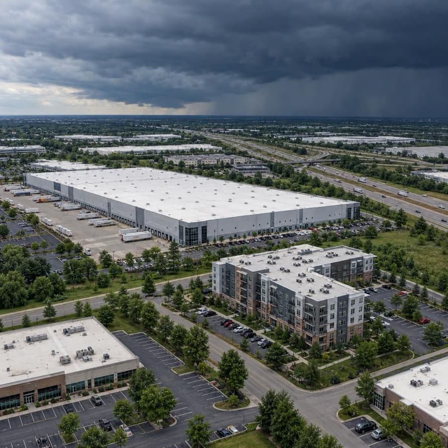
- Hail days near Springfield since 2010, the most in Missouri
- 115
- Largest hail reported, near Kansas City
- 5.5 in
- Missouri cities tracked
- 3
Source: NOAA/NWS Storm Prediction Center
Data through November 1, 2026
Missouri cities by hail days
Source: NOAA/NWS Storm Prediction Center
Data through November 1, 2026
| City | Hail days since 2010 | Largest hail |
|---|---|---|
| Springfield | 115 | 4.75 in |
| Kansas City | 113 | 5.5 in |
| St. Louis | 109 | 4.5 in |
About this data
- Each city counts reports within 15 miles of its center, not of any one property.
- Reports come from trained spotters and the public, so they cluster near towns and roads.
- No report does not mean no hail. Hail can fall where no one is there to report it.
- This is not a damage or insurance assessment.
Storm risk in Missouri
For commercial and multifamily buildings in Missouri, hail and damaging thunderstorm wind are the most frequent storm risks, followed by tornadoes, river and flash flooding, and winter ice. Missouri had 253 large hail events in 2025, the fifth most of any state, and each of the three Missouri cities on this page has had hail on more than 100 days since 2010.2,1
How often storms hit Missouri
| Hazard | How often | What it means for buildings |
|---|---|---|
| Hail | 253 hail events with stones 1 inch or larger in 2025, the fifth most of any state (5,432 in the US). Hail days since 2010 within 15 miles of the city center: Springfield 115, Kansas City 113, St. Louis 109, with hail up to 5.5 inches near Kansas City. | Roof covers, skylights and rooftop HVAC condenser fins take the hits, and the same roof can be struck more than once in a season. |
| Damaging thunderstorm wind | Damaging wind reports on 52 days a year on average within 124 nautical miles of the Springfield radar, 48 around Kansas City and 46 around St. Louis (1980 to 2006). | Straight-line gusts peel roof edges and membranes, shift rooftop units, break windows and drop trees on buildings and parking. |
| Tornadoes | 34 a year on average from 1950 to 2019. At any one point around the Springfield radar, the yearly chance of a tornado is 0.034 percent. | A direct hit on one building is rare, but across a portfolio the odds add up, and strong tornadoes can destroy a structure. |
| Flooding | Missouri sits in the lower basins of several large rivers, which makes downstream flooding an extreme hazard, and days with 2 inches of rain or more have been near or above average since the 1980s. | River floods reach low-lying buildings along the big rivers, and flash floods from heavy thunderstorms reach ground floors, basements and parking in cities. |
| Winter storms and ice | Occasional heavy snow and ice. Nights at 0°F or below average 4.8 a year statewide (1900 to 2024), fewer since the 1990s, and snowfall tops 20 inches a year in parts of the north but stays under 5 inches in the south. | Ice brings down tree limbs and power lines, and long outages in the cold freeze pipes and sprinkler lines. |
The city counts are days with at least one hail report within 15 miles of each city's center since 2010, so they show how often hail falls near a city, not on one building. The Storm Prediction Center radar figures cover a far larger circle, 124 nautical miles around each radar, and come from 1980 to 2006 reports.1,3,4,5
For an owner, hail and straight-line wind cause the frequent, repeat damage to roofs and rooftop equipment, while tornadoes and floods are rarer at any one address but cause the largest single losses.
Rules owners in Missouri should know
- FAIR Plan: The Missouri Property Insurance Placement Facility (Missouri FAIR Plan) writes commercial policies for buildings with five or more families or used for business, up to $1,000,000 for buildings and contents at one location, the limit RSMo 379.825 sets. Its policies are actual cash value and named peril, including wind and hail, and exclude flood. A commercial application needs at least one declination from the standard market and one from a surplus lines carrier or broker.8,9,10,11
- Claim timing: Under 20 CSR 100-1.030, an insurer must acknowledge a claim within 10 working days. Under 20 CSR 100-1.050, it must accept or deny within 15 working days after receiving all forms it needs, or say why it needs more time and write again every 45 days, and it must warn a claimant without a lawyer in writing 30 days before a policy time limit or statute of limitations may run out.12,13
- Vexatious refusal: Under RSMo 375.420, if an insurer refuses to pay a loss without reasonable cause or excuse, a court or jury may add damages of up to 20 percent of the first $1,500 of the loss and 10 percent of the rest, plus a reasonable attorney's fee.14
- Suit deadline: RSMo 431.030 voids any contract term that limits the time to sue, and the Revisor of Statutes' notes cite a 1965 federal appeals ruling that this includes insurance policies.15
Before the next storm
- Hail-rated roofs: When reroofing, choose covers IBHS recommends for hail-prone areas, FM 4470 Class 1-SH or UL 2218 Class 4 on low-slope roofs, and fit hail guards over rooftop condenser fins and air intakes. Springfield, Kansas City and St. Louis have each had hail on more than 100 days since 2010.16,1
- Tornado refuge areas: FEMA P-431 says a qualified architect or structural engineer should assess an existing building and pick its best available refuge areas, usually interior rooms at or below ground level with little glass, because buildings not designed as safe rooms suffer catastrophic damage from a direct hit by a violent tornado.17
- Flood coverage dates: Look up each building's flood zone and flood coverage before spring rains. FEMA says a new flood policy typically has a 30-day waiting period before it takes effect.18
- Freeze alarms: Before winter, install a system that alerts staff when a building's temperature drops below a set point, keep heat in sprinkler valve rooms, and hold vacant space at 55°F and never below 40°F, as IBHS recommends. Pipes are most at risk when an ice storm cuts power and heat.19
Sources
Written by the Cloudbreak team. Numbers, dates and rules cite the published sources below.
- 1. Cloudbreak: NOAA/NWS Storm Prediction Center storm reports, as counted on the Cloudbreak hail history page for Missouri
- 2. Insurance Information Institute (Triple-I): Facts + Statistics: Hail
- 3. NOAA Storm Prediction Center: SGF (Springfield) Severe Weather Climatology, 1980 to 2006
- 4. NOAA Storm Prediction Center: EAX (Kansas City/Pleasant Hill) Severe Weather Climatology, 1980 to 2006
- 5. NOAA Storm Prediction Center: LSX (St. Louis) Severe Weather Climatology, 1980 to 2006
- 6. NWS St. Louis: Missouri Severe Weather Statistics
- 7. NOAA NCEI and North Carolina Institute for Climate Studies: Missouri: 2025 State Climate Summaries
- 8. Missouri FAIR Plan (Missouri Property Insurance Placement Facility): Coverages, Policy Forms, and Producer Forms
- 9. Missouri FAIR Plan (Missouri Property Insurance Placement Facility): General Information and Coverages
- 10. Missouri FAIR Plan (Missouri Property Insurance Placement Facility): Application for Commercial Properties
- 11. Missouri Revisor of Statutes: RSMo 379.825: Issuance of policy, limits on liability
- 12. Missouri Department of Commerce and Insurance (text via Cornell LII): 20 CSR 100-1.030: Failure to Acknowledge Pertinent Communication
- 13. Missouri Department of Commerce and Insurance (text via Cornell LII): 20 CSR 100-1.050: Standards for Prompt, Fair, and Equitable Settlement of Claims
- 14. Missouri Revisor of Statutes: RSMo 375.420: Vexatious refusal to pay claim
- 15. Missouri Revisor of Statutes: RSMo 431.030: Provisions limiting time for bringing suits prohibited
- 16. Insurance Institute for Business & Home Safety (IBHS): Commercial Roofs Best Practices Guide
- 17. FEMA: Tornado Protection: Selecting Refuge Areas in Buildings (FEMA P-431)
- 18. FEMA: Waiting Period for Activating Flood Policy?
- 19. Insurance Institute for Business & Home Safety (IBHS): Commercial Risk Engineering Bulletin: Winter Weather
Storms in Missouri
Around the Kansas City, St. Louis and Springfield radars, SPC report counts for 1980 to 2006 show hail reports peaking in May, then April, and damaging wind reports peaking in June or July.1,2,3
Notable storms
- April 28, 2026One storm dropped hail for 2 hours and 20 minutes along a path from Barry County across northwest Springfield to Camden County, with stones up to 4.75 inches 5 miles southeast of Bois d'Arc. Homes had roofing, siding, gutters and windows damaged, dozens of businesses were hit, and NOAA's Storm Events Database lists $314.9 million in property damage in Greene County.4,5
- May 16, 2025An EF3 tornado crossed St. Louis County and the city of St. Louis and reached 1.8 miles wide, NWS St. Louis found. Thousands of buildings were damaged in the city, where NOAA's Storm Events Database lists 4 deaths, 38 injuries and an estimated $1.6 billion in damage.6,7
- July 17, 2023A storm moved from near Grandview through Raymore and Harrisonville in Cass County, dropping many softball size stones west of Garden City, including a 5-inch stone. That evening, hail up to 3 inches damaged multiple vehicles and roofs across Preston in Hickory County.8,9
- April 28, 2012Storms tracked east from central Missouri, mainly along Interstate 70, with many reports of hail 2 to 3 inches across, including 3-inch hail in central St. Louis. NOAA's Storm Events Database puts hail damage in Missouri from the storms at $995 million.10
- May 22, 2011An EF5 tornado with winds over 200 mph crossed Joplin on a path of nearly 21.6 miles, up to a mile wide, killing 158 people directly and injuring more than 1,150. About 7,000 homes were severely damaged or destroyed, three-story apartment complexes lost their top two floors, and NOAA's Storm Events Database lists $2.8 billion in property damage in Jasper County.11
- September 18, 2010Hail up to 5.5 inches across fell in Independence in Jackson County, breaking skylights and badly damaging many vehicles in parking lots and at nearby car dealerships. NOAA's Storm Events Database lists $1 million in property damage.12
Warnings and alerts
NWS Kansas City/Pleasant Hill, St. Louis and Springfield cover most of Missouri, and NWS Quad Cities, Paducah and Memphis cover the northeast corner, the southeast and the southern Bootheel.13
Sources
- 1. NOAA Storm Prediction Center: EAX Severe Weather Climatology
- 2. NOAA Storm Prediction Center: LSX Severe Weather Climatology
- 3. NOAA Storm Prediction Center: SGF Severe Weather Climatology
- 4. NWS Springfield: April 28 2026 Hailstorm
- 5. NOAA NCEI: Storm Events Database: Hail, Greene County, April 28, 2026
- 6. NWS St. Louis: May 16, 2025 St. Louis Tornado: Updated Survey
- 7. NOAA NCEI: Storm Events Database: Tornado, St. Louis City, May 16, 2025
- 8. NOAA NCEI: Storm Events Database: Hail, Cass County, July 17, 2023
- 9. NOAA NCEI: Storm Events Database: Hail, Hickory County, July 17, 2023
- 10. NOAA NCEI: Storm Events Database: Hail, St. Louis City, April 28, 2012
- 11. NOAA NCEI: Storm Events Database: Tornado, Jasper County, May 22, 2011
- 12. NOAA NCEI: Storm Events Database: Hail, Jackson County, September 18, 2010
- 13. National Weather Service: Missouri County Warning Forecast Areas
Hail history in other states
- Alabama
- Alaska
- Arizona
- Arkansas
- California
- Colorado
- Connecticut
- District of Columbia
- Florida
- Georgia
- Hawaii
- Idaho
- Illinois
- Indiana
- Iowa
- Kansas
- Kentucky
- Louisiana
- Maine
- Maryland
- Massachusetts
- Michigan
- Minnesota
- Mississippi
- Montana
- Nebraska
- Nevada
- New Hampshire
- New Jersey
- New Mexico
- New York
- North Carolina
- North Dakota
- Ohio
- Oklahoma
- Oregon
- Pennsylvania
- Rhode Island
- South Carolina
- South Dakota
- Tennessee
- Texas
- Utah
- Virginia
- Washington
- West Virginia
- Wisconsin
- Wyoming