Hail history in Mississippi
We counted the days with NOAA hail reports within 15 miles of the center of 2 Mississippi cities since 2010.
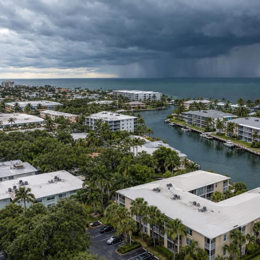
- Hail days near Jackson since 2010, the most in Mississippi
- 81
- Largest hail reported, near Jackson
- 2.75 in
- Mississippi cities tracked
- 2
Source: NOAA/NWS Storm Prediction Center
Data through November 1, 2026
Mississippi cities by hail days
Source: NOAA/NWS Storm Prediction Center
Data through November 1, 2026
| City | Hail days since 2010 | Largest hail |
|---|---|---|
| Jackson | 81 | 2.75 in |
| Gulfport | 18 | 2.0 in |
About this data
- Each city counts reports within 15 miles of its center, not of any one property.
- Reports come from trained spotters and the public, so they cluster near towns and roads.
- No report does not mean no hail. Hail can fall where no one is there to report it.
- This is not a damage or insurance assessment.
Storm risk in Mississippi
For commercial and multifamily buildings in Mississippi, tornadoes, damaging thunderstorm wind and hail are the most frequent storm risks statewide, hurricanes bring the largest losses on the Gulf Coast, and flooding can reach almost any town. The state averages 33 tornadoes a year, the area around the Jackson radar ranks 8th of 141 US radar areas for the yearly chance of a tornado at any one point, and Mississippi has the 5th largest floodplain in the US.3,2,5
How often storms hit Mississippi
| Hazard | How often | What it means for buildings |
|---|---|---|
| Hail | Hail days since 2010 within 15 miles of the city center: Jackson 81, with hail up to 2.75 inches, and Gulfport 18, with hail up to 2 inches. Around the Jackson radar, hail reports came on 38 days a year on average (1980 to 2006). | Roof covers, skylights and rooftop HVAC condenser fins take the hits, and the same roof can be struck more than once in a season. |
| Damaging thunderstorm wind | Wind damage reports on 57 days a year on average within 124 nautical miles of the Jackson radar (1980 to 2006). The State Climatologist puts the threat of violent, destructive thunderstorms at about 60 days a year. | Straight-line gusts peel roof edges and membranes, shift rooftop units, break windows and drop trees on buildings and parking. |
| Tornadoes | 33 a year on average from 1950 to 2020, with a record 115 in 2019. At any one point near the Jackson radar, the yearly chance of a tornado is 0.055 percent. | A direct hit on one building is rare, but across a portfolio of many buildings the odds add up, and strong tornadoes can destroy a structure. |
| Hurricanes and tropical storms | 19 hurricanes struck Mississippi from 1851 to 2018, 8 of them major (Category 3 or stronger). | Coastal buildings face wind, windborne debris and storm surge; storms that move inland bring wind and heavy rain far from the Gulf. |
| Flooding | More than 5.2 million acres, over 15 percent of the state, lie in the floodplain, and major floods have come every two to three years. | River, flash, coastal and drainage floods all occur, and MEMA says about 30 percent of flood damage happens in low-risk zones outside the floodplain. |
| Winter storms and hard freezes | Freezing temperatures reach the Gulf Coast almost every winter, snow or sleet falls somewhere in the state in 95 percent of years, and temperatures drop to zero or lower about once in five years. | Short cold snaps burst pipes and sprinkler lines; IBHS notes that pipes in southern commercial buildings often run outside the insulation. |
The city counts are days with at least one hail report within 15 miles of each city's center since 2010, so they show how often hail falls near a city, not on one building. The Storm Prediction Center figures cover a much larger circle, 124 nautical miles around the Jackson radar, and come from 1980 to 2006 reports.1,2
For an owner, the pattern matters more than any one storm. Hail and straight-line wind cause frequent, repeat damage to roofs and rooftop equipment, while tornadoes, hurricanes and floods are rarer at any one address but cause the largest single losses.
Rules owners in Mississippi should know
- Wind pool: the Mississippi Windstorm Underwriting Association sells windstorm and hail coverage only in the coast area, which state law defines as Hancock, Harrison, Jackson, Pearl River, Stone and George Counties (Miss. Code 83-34-1). The Insurance Department says owners whose regular policy excludes windstorm can buy that coverage there.7,12
- Wind pool limits: under the MWUA plan of operation effective April 1, 2025, commercial property (all nonresidential buildings and residential buildings with more than four units) is capped at $2,500,000 per location, and each building must be scheduled separately. Buildings in A and V flood zones must show flood coverage, and failing applicable building codes is grounds to decline a risk.8
- Coastal building code: Jackson, Harrison, Hancock, Stone and Pearl River Counties and their cities must adopt the latest International Building Code as a minimum code and enforce its wind and flood mitigation requirements, unless a county or city opted out by resolution within 60 days after the 2006 law took effect (Miss. Code 17-2-1). Elsewhere, the codes the Mississippi Building Codes Council adopts are discretionary statewide minimums (Miss. Code 17-2-3).9,15
- Suit deadline: Mississippi's general limit for a lawsuit with no other set period is three years after the cause of action accrues (Miss. Code 15-1-49), and any contract term that changes a limitation period is void (Miss. Code 15-1-5).10,11
- Floodplain permits: MEMA says every building in Mississippi sits in a mapped flood zone, and each NFIP community must require permits for all development in the floodplain and FEMA elevation certificates to document compliance.5
Before the next storm
- Coverage timing: make coverage changes early in hurricane season, which runs June through November. The Mississippi Insurance Department says most insurers will not accept new applications once a designated hurricane enters the Gulf of Mexico or the area bounded by 80 degrees West longitude and 20 degrees North latitude.12
- Flood policy: look up each building's flood zone and flood coverage before storm season. The Insurance Department notes a 30-day waiting period before an NFIP policy takes effect, and MEMA says about 30 percent of flood damage occurs in low-risk zones.12,5
- Hail-rated roofs: when reroofing, choose low-slope covers rated FM 4470 Class 1-SH or UL 2218 Class 4 and fit hail guards over condenser fins and air intakes, as IBHS recommends, because Jackson has had hail on 81 days since 2010.13,1
- Roof edges: IBHS calls for edge flashing, coping and counterflashing that meet ANSI/SPRI/FM 4435/ES-1 for the site's design wind pressures, because thunderstorm wind damage is reported on 57 days a year around the Jackson radar.13,2
- Freeze plan: keep vacant space at 55°F or warmer and never below 40°F, heat sprinkler control valve rooms, and insulate pipes that enter through exterior walls, as IBHS advises. Freezes reach the Gulf Coast almost every winter, and IBHS says owners in the South tend to be less aware of freezing problems.14,6
Sources
Written by the Cloudbreak team. Numbers, dates and rules cite the published sources below.
- 1. Cloudbreak: NOAA/NWS Storm Prediction Center storm reports, as counted on the Cloudbreak hail history page for Mississippi
- 2. NOAA Storm Prediction Center: JAN (Jackson) Severe Weather Climatology, 1980 to 2006
- 3. NWS Jackson: General Tornado Statistics for Mississippi, 1950 to 2020
- 4. NOAA Hurricane Research Division (Chris Landsea, NHC): TCFAQ E19: How many direct hits by hurricanes of various categories have affected each state?
- 5. Mississippi Emergency Management Agency (MEMA): Floodplain Management Quick Guide
- 6. Office of the Mississippi State Climatologist, Mississippi State University: Mississippi Climate
- 7. Mississippi Legislature (text via Justia): Mississippi Code Section 83-34-1, Definitions (Windstorm Underwriting Association)
- 8. Mississippi Windstorm Underwriting Association: Mississippi Windstorm Underwriting Association Plan of Operation, effective April 1, 2025
- 9. Mississippi Legislature (text via Justia): Mississippi Code Section 17-2-1, Wind and flood mitigation requirements in certain counties
- 10. Mississippi Legislature (text via Justia): Mississippi Code Section 15-1-49, Limitations applicable to actions not otherwise specifically provided for
- 11. Mississippi Legislature (text via Justia): Mississippi Code Section 15-1-5, Period of limitations shall not be changed by contract
- 12. Mississippi Insurance Department: Consumer Hurricane Checklist
- 13. Insurance Institute for Business & Home Safety (IBHS): Commercial Roofs Best Practices Guide
- 14. Insurance Institute for Business & Home Safety (IBHS): Commercial Risk Engineering Bulletin: Winter Weather
- 15. Mississippi Legislature (text via Justia): Mississippi Code Section 17-2-3, Mississippi Building Codes Council and discretionary statewide minimum codes
Storms in Mississippi
Around the Jackson radar, SPC report counts for 1980 to 2006 show hail reports peaking in April, damaging wind reports staying high from April through July, and tornado reports peaking in November and April.1
Notable storms
- June 14, 2023Baseball to softball size hail fell from west of Brooksville to the Prairie Point area in Noxubee County, and one stone measured 4.88 inches across. Swaths of hail and wind from the day's storms damaged homes, trees and power lines.2
- March 24, 2023An EF4 tornado tracked 59.4 miles from Issaquena County through Rolling Fork and Silver City, NWS Jackson found. NOAA's Storm Events Database lists 17 deaths in Sharkey and Humphreys counties and $83 million in property damage in Sharkey County. The same night, an EF3 tornado through Amory left 2 dead and $80 million in damage in Monroe County.3,4,5,6
- April 28, 2014An EF4 tornado tracked more than 34 miles from Leake County through Louisville, destroying industrial buildings, homes and apartments, some down to the slab. NOAA's Storm Events Database lists 10 deaths, 81 injuries and $115 million in property damage in Winston County, where hail up to 3 inches also damaged vehicles and home roofs west of Louisville.7,8
- March 18, 2013One storm dropped hail up to 4.25 inches from Warren County into the Jackson metro area, with the largest stone in Clinton. Hail damaged roofs across Jackson and broke thousands of vehicle windows, and NOAA's Storm Events Database lists $200 million in property damage in Hinds County and $100 million in Rankin County.9,10
- April 27, 2011Two EF5 tornadoes hit Mississippi. One almost completely destroyed Smithville in Monroe County, where 117 structures were destroyed and 16 people died, and the other, with winds estimated at 205 mph, crossed parts of Neshoba, Kemper and Winston counties. Earlier that day, 4-inch hail fell at Batesville.11,12,13
Warnings and alerts
NWS Jackson covers most of Mississippi, NWS Memphis covers the northern counties, NWS New Orleans/Baton Rouge covers the southwest and the coast, and NWS Mobile covers five southeastern counties.14
Sources
- 1. NOAA Storm Prediction Center: JAN Severe Weather Climatology
- 2. NOAA NCEI: Storm Events Database: Hail, Noxubee County, June 14, 2023
- 3. Iowa Environmental Mesonet, Iowa State University: Public Information Statement: March 24, 2023 tornado surveys (NWS Jackson text product)
- 4. NOAA NCEI: Storm Events Database: Tornado, Sharkey County, March 24, 2023
- 5. NOAA NCEI: Storm Events Database: Tornado, Humphreys County, March 24, 2023
- 6. NOAA NCEI: Storm Events Database: Tornado, Monroe County, March 24, 2023
- 7. NOAA NCEI: Storm Events Database: Tornado, Winston County, April 28, 2014
- 8. NOAA NCEI: Storm Events Database: Hail, Winston County, April 28, 2014
- 9. NOAA NCEI: Storm Events Database: Hail, Hinds County, March 18, 2013
- 10. NOAA NCEI: Storm Events Database: Hail, Rankin County, March 18, 2013
- 11. NOAA NCEI: Storm Events Database: Tornado, Winston County, April 27, 2011
- 12. NOAA NCEI: Storm Events Database: Tornado, Monroe County, April 27, 2011
- 13. NOAA NCEI: Storm Events Database: Hail, Panola County, April 27, 2011
- 14. National Weather Service: Mississippi County Warning Forecast Areas
Hail history in other states
- Alabama
- Alaska
- Arizona
- Arkansas
- California
- Colorado
- Connecticut
- District of Columbia
- Florida
- Georgia
- Hawaii
- Idaho
- Illinois
- Indiana
- Iowa
- Kansas
- Kentucky
- Louisiana
- Maine
- Maryland
- Massachusetts
- Michigan
- Minnesota
- Missouri
- Montana
- Nebraska
- Nevada
- New Hampshire
- New Jersey
- New Mexico
- New York
- North Carolina
- North Dakota
- Ohio
- Oklahoma
- Oregon
- Pennsylvania
- Rhode Island
- South Carolina
- South Dakota
- Tennessee
- Texas
- Utah
- Virginia
- Washington
- West Virginia
- Wisconsin
- Wyoming