Hail history in Maryland
We counted the days with NOAA hail reports within 15 miles of the center of 2 Maryland cities since 2010.
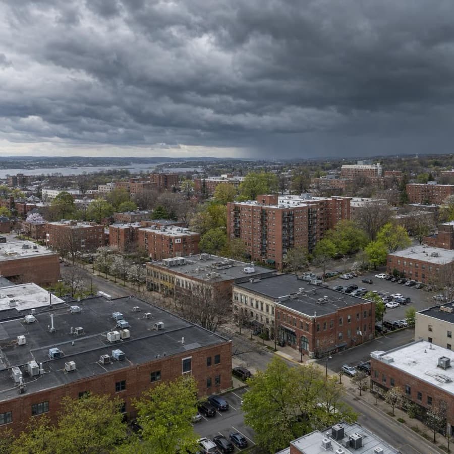
- Hail days near Baltimore since 2010, the most in Maryland
- 52
- Largest hail reported, near Baltimore
- 4.0 in
- Maryland cities tracked
- 2
Source: NOAA/NWS Storm Prediction Center
Data through November 1, 2026
Maryland cities by hail days
Source: NOAA/NWS Storm Prediction Center
Data through November 1, 2026
| City | Hail days since 2010 | Largest hail |
|---|---|---|
| Baltimore | 52 | 4.0 in |
| Hagerstown | 24 | 4.0 in |
About this data
- Each city counts reports within 15 miles of its center, not of any one property.
- Reports come from trained spotters and the public, so they cluster near towns and roads.
- No report does not mean no hail. Hail can fall where no one is there to report it.
- This is not a damage or insurance assessment.
Storm risk in Maryland
For commercial and multifamily buildings in Maryland, damaging thunderstorm wind is the most frequent storm risk, followed by hail and tornadoes, while tropical storms, flooding and nor'easters cause rarer but larger losses. The Washington area radar ranks 53rd of 141 US radar areas for severe weather reports per square mile, near the middle, and only 2 hurricanes struck Maryland directly from 1851 to 2018, both Category 1.2,5
How often storms hit Maryland
| Hazard | How often | What it means for buildings |
|---|---|---|
| Damaging thunderstorm wind | Damaging wind reports on 48 days a year on average within 124 nautical miles of the Washington (Sterling, Virginia) radar (1980 to 2006). NWS Baltimore/Washington says microbursts can reach 120 mph. | Gusts peel roof edges and membranes, shift rooftop units and drop trees onto roofs, cars and power lines. |
| Hail | Hail days since 2010 within 15 miles of the city center: Baltimore 52, Hagerstown 24, with hail up to 4 inches near both. Hail reports on 24 days a year on average around the Sterling radar (1980 to 2006). | Large hail breaks skylights, windows, siding and rooftop condenser fins and bruises roof covers. |
| Tornadoes | Tornado reports on 11 days a year on average around the Sterling radar, where the yearly chance of a tornado at any one point is 0.011 percent. NWS counted 27 Maryland tornadoes in 2012 alone. | Most strip shingles and siding and bring down trees and power lines; the strongest cause widespread destruction. |
| Hurricanes and tropical storms | 2 direct hurricane hits from 1851 to 2018, both Category 1. Weaker and passing storms do much of the damage: as Isabel moved through in 2003, the storm tide reached 8.34 feet (NGVD 1929) at Baltimore and flooded Fell's Point and downtown Annapolis. | Storm surge floods Chesapeake Bay and tidal river shorelines, wind brings down trees, and heavy rain floods inland streams. |
| Flooding | Western Maryland's mountains and dense urban areas are highly vulnerable to flash floods. Baltimore had a record 12 high-tide flood days in both 2018 and 2023, and the number is projected to rise with sea level. | Water reaches ground floors, basements, garages and mechanical rooms first, and repeated tidal flooding wears on waterfront sites. |
| Winter storms | Occasional nor'easters bring heavy snow, sleet or freezing rain, strong winds and coastal flooding. | Snow and ice load roofs and bring down trees and power lines, and frozen pipes and sprinkler lines cause water damage. |
The city counts are days with at least one hail report within 15 miles of each city's center since 2010, so they show how often hail falls near a city, not on one building. The Storm Prediction Center radar figures cover a much larger circle, 124 nautical miles around the radar, and come from 1980 to 2006 reports.1,2
For an owner, the pattern matters more than any one storm. Thunderstorm wind and hail bring frequent, repeat damage to roofs, rooftop equipment and trees, while surge, flash floods and big winter storms are rarer at any one address but cause the largest single losses, and flood damage needs its own coverage and building rules.
Rules owners in Maryland should know
- Insurer of last resort: The Maryland Joint Insurance Association, created by the General Assembly, insures homes and business property that owners can't insure through private insurers. Its commercial fire policy covers fire, lightning and extended coverage perils including windstorm and hail, up to $1,500,000, and vandalism cover is not available on vacant property.7,8
- Hurricane deductibles: Maryland lets a required percentage hurricane or storm deductible apply only while a hurricane warning is in effect for the county and for 24 hours after (Insurance Article 19-209 and COMAR 31.08.13). The rule covers homeowner's policies, including a building where the owner lives in one unit and no more than three are rented, not insurance for business property.9
- Good faith claims: Before suing an insurer for failing to act in good faith on a first party property claim, the insured must file a complaint with the Maryland Insurance Administration, which has 90 days to decide (Insurance Article 27-1001). That step does not apply to a commercial policy with a limit over $1,000,000 on the claim. Recovery can include expenses, interest and attorney's fees capped at one third of actual damages (Courts Article 3-1701).10,11
- Investigation updates: If an insurer has not finished investigating a first party claim within 45 days of notice, it must tell the claimant in writing why it needs more time, and again after each further 45 days (COMAR 31.15.07.04).12
- Deadline to sue: Maryland's general limit for a civil action is three years from when it accrues (Courts Article 5-101), and Insurance Article 12-104 voids any policy clause that sets a shorter time than state law.13,14
- Statewide building code: The Maryland Building Performance Standards require every jurisdiction to use the same edition of the International Building Code. Local governments may amend it but may not weaken its wind design and windborne debris provisions (COMAR 09.12.51.05).15,16
- Floodplain elevation: Building in a nontidal 100-year floodplain needs a state permit, and the lowest floor of new or substantially improved residential, commercial or industrial buildings must sit at least 1 foot above the 100-year flood (COMAR 26.17.04.07). After Isabel, MDE recommended at least 2 feet in coastal communities.17,18
Before the next storm
- Flood coverage early: The Atlantic hurricane season runs June 1 to November 30. Check each waterfront building's flood zone and flood policy before it starts, because a new NFIP policy generally takes effect only after a 30-day waiting period.19,20
- Raise equipment: In a floodplain, set replacement HVAC units above the flood protection elevation and anchor or elevate fuel tanks, as MDE recommended after Isabel, since flooded mechanical equipment can shut a building down long after the water leaves.18
- Roof edges and rooftop units: IBHS calls for edge flashing and coping that meet ANSI/SPRI/FM 4435/ES-1 and rooftop equipment attached for ASCE 7 wind loads, because damaging wind is the most frequent severe storm hazard in Maryland.21,2
- Hail ratings at reroofing: IBHS recommends low-slope roof covers rated FM 4470 Class 1-SH or UL 2218 Class 4, hail-rated skylights and hail guards over condenser fins in hail-prone areas; hail up to 4 inches has fallen near Baltimore and Hagerstown since 2010.21,1
Sources
Written by the Cloudbreak team. Numbers, dates and rules cite the published sources below.
- 1. Cloudbreak: NOAA/NWS Storm Prediction Center storm reports, as counted on the Cloudbreak hail history page for Maryland
- 2. NOAA Storm Prediction Center: LWX (Washington, Sterling VA) Severe Weather Climatology, 1980 to 2006
- 3. NWS Baltimore/Washington: Maryland Severe Storms Awareness Week 2025
- 4. NOAA NCEI and North Carolina Institute for Climate Studies: Maryland and the District of Columbia: 2025 State Climate Summaries
- 5. NOAA Hurricane Research Division (Chris Landsea, NHC): TCFAQ E19: How many direct hits by hurricanes of various categories have affected each state?
- 6. NOAA National Weather Service: Service Assessment: Hurricane Isabel, September 18-19, 2003
- 7. Maryland Insurance Administration: Commercial Insurance FAQs
- 8. Maryland Joint Insurance Association: Policies
- 9. Maryland Insurance Administration: Bulletin 14-19: FAQs on percentage deductibles, with COMAR 31.08.13
- 10. General Assembly of Maryland: Insurance Article 27-1001
- 11. General Assembly of Maryland: Courts and Judicial Proceedings Article 3-1701
- 12. Maryland Insurance Administration (text via Cornell LII): COMAR 31.15.07.04: Standards for Prompt Investigation of Claims
- 13. General Assembly of Maryland: Courts and Judicial Proceedings Article 5-101
- 14. General Assembly of Maryland: Insurance Article 12-104
- 15. Maryland Department of Labor, Building Codes Administration: Maryland Building Codes
- 16. Maryland Department of Labor: COMAR 09.12.51.05: Maryland Building Performance Standards
- 17. Maryland Department of the Environment: COMAR 26.17.04.07: Changes in Stream Channels or Floodplains
- 18. Maryland Department of the Environment: Floodplain Permitting in Maryland
- 19. NOAA National Hurricane Center: Tropical Cyclone Climatology
- 20. FEMA (Code of Federal Regulations): 44 CFR 61.11: Effective date and time of coverage under the Standard Flood Insurance Policy
- 21. Insurance Institute for Business & Home Safety (IBHS): Commercial Roofs Best Practices Guide
Storms in Maryland
In SPC's 1980 to 2006 records for the NWS Baltimore/Washington area, hail reports peaked in May and damaging wind reports peaked in July, with wind reports more than three times as common as hail.1 NWS Baltimore/Washington says damaging winds cause most of the tree and structure damage during thunderstorms in Maryland.2
Notable storms
- May 16, 2025An EF1 tornado with peak winds of 110 mph tracked 5.8 miles from Federal Hill in Baltimore to Dundalk. It did significant damage to several warehouses in an industrial park and damaged the roofs and siding of several homes and apartments in Dundalk. Earlier, 2.5-inch hail fell south-southeast of Hampstead.3,4
- June 5, 2024NWS Baltimore/Washington confirmed nine tornadoes in Maryland. One near Eldersburg, rated EF2 with 120 mph winds in NOAA's Storm Events Database, tracked 4.4 miles. Another ran 15.2 miles from Gaithersburg to Ashton, and seven houses along it were condemned after trees fell on them. The database lists $5 million in property damage for each of the two.5,6,7
- August 7, 2023Hail up to 4 inches across, softball size, fell north of Clear Spring in Washington County, and 2-inch hail fell in Williamsport. Winds of 78 knots (90 mph) near Westminster gave several homes minor roof, shingle and siding damage and destroyed several barns. NOAA's Storm Events Database lists $20 million in property damage there.8,9,10
- May 16, 2022Hail 3 inches across fell near Chesapeake Beach in Calvert County, badly damaging car windshields and punching holes in the siding and windows of homes. Hail over 2 inches fell around Huntingtown, and 2-inch hail fell in East New Market in Dorchester County.11,12,13
- September 1, 2021A tornado from the remnants of Ida, rated EF2 with winds estimated at 125 mph, tracked 11.4 miles through Anne Arundel County and Annapolis. It caused significant structural damage to homes, businesses and a school.14
- June 23, 2015A 4-inch hailstone, grapefruit size, fell 2 miles north-northeast of Timonium. Nearby, around Ashland and east of Cockeysville, the storm broke windows of cars and homes and punched holes in siding.15,16,17
Warnings and alerts
NWS Baltimore/Washington covers most of Maryland, NWS Mount Holly covers Caroline, Kent, Queen Anne's and Talbot counties, and NWS Wakefield covers Dorchester, Somerset, Wicomico and Worcester counties.18 Maryland's MdReady system at MdReady.maryland.gov offers emergency notifications and text alerts in English, Spanish or one of 185 languages.18
Sources
- 1. NOAA Storm Prediction Center: LWX Severe Weather Climatology
- 2. NWS Baltimore/Washington: Maryland Severe Storms Awareness Week 2025
- 3. NWS Baltimore/Washington: An EF-1 Tornado struck Baltimore/Dundalk MD Friday May 16th, 2025
- 4. NOAA NCEI: Storm Events Database: Baltimore County hail near Hampstead, May 16, 2025
- 5. NWS Baltimore/Washington: Public Information Statement: June 05 2024 Tornado Outbreak
- 6. NOAA NCEI: Storm Events Database: Carroll County tornado near Eldersburg, June 5, 2024
- 7. NOAA NCEI: Storm Events Database: Montgomery County tornado near Gaithersburg, June 5, 2024
- 8. NOAA NCEI: Storm Events Database: Washington County hail near Clear Spring, August 7, 2023
- 9. NOAA NCEI: Storm Events Database: Washington County hail in Williamsport, August 7, 2023
- 10. NOAA NCEI: Storm Events Database: Carroll County thunderstorm wind near Westminster, August 7, 2023
- 11. NOAA NCEI: Storm Events Database: Calvert County hail near Chesapeake Beach, May 16, 2022
- 12. NOAA NCEI: Storm Events Database: Calvert County hail near Huntingtown, May 16, 2022
- 13. NOAA NCEI: Storm Events Database: Dorchester County hail in East New Market, May 16, 2022
- 14. NOAA NCEI: Storm Events Database: Anne Arundel County tornado through Annapolis, September 1, 2021
- 15. NWS Baltimore/Washington: Near Record Size Hail in Baltimore County
- 16. NOAA NCEI: Storm Events Database: Baltimore County hail near Ashland, June 23, 2015
- 17. NOAA NCEI: Storm Events Database: Baltimore County thunderstorm wind east of Cockeysville, June 23, 2015
- 18. Maryland Department of Emergency Management: Get MdReady for Maryland Severe Storms Awareness Week Beginning April 7
Hail history in other states
- Alabama
- Alaska
- Arizona
- Arkansas
- California
- Colorado
- Connecticut
- District of Columbia
- Florida
- Georgia
- Hawaii
- Idaho
- Illinois
- Indiana
- Iowa
- Kansas
- Kentucky
- Louisiana
- Maine
- Massachusetts
- Michigan
- Minnesota
- Mississippi
- Missouri
- Montana
- Nebraska
- Nevada
- New Hampshire
- New Jersey
- New Mexico
- New York
- North Carolina
- North Dakota
- Ohio
- Oklahoma
- Oregon
- Pennsylvania
- Rhode Island
- South Carolina
- South Dakota
- Tennessee
- Texas
- Utah
- Virginia
- Washington
- West Virginia
- Wisconsin
- Wyoming