Hurricane Bob (1991)
Hurricane Bob was a Category 3 hurricane at its peak, with 115 mph winds and a lowest pressure of 950 mb, per NOAA's National Hurricane Center. Modeled winds reached tropical-storm force (39 mph) at 13 of the cities we track; the strongest was Providence, RI, with a modeled peak gust of 81 mph.
- Peak strength115 mph winds (1-minute)
- Category 3
- Cities with tropical-storm-force windsModeled, of the cities we track
- 13
- LandfallsFirst August 19, 1991
- 3
- Lowest pressure
- 950 mb
Track, wind field and cities
Select a piece of the track or a city for details.
- Depression or weaker
- Tropical storm
- Hurricane, Category 1 or 2
- Major hurricane, Category 3 to 5
- Landfall
- City (larger ring, stronger modeled gust)
- Modeled wind field, 39 to 111 mph sustained (darker, stronger; orange 111 mph+)
The shaded areas are where our model puts Hurricane Bob’s sustained winds over open land at 39 mph or more (tropical-storm force), 58, 74 (hurricane force) and 111 mph (major hurricane force) at some point along its track. Modeled, not measured. How we model hurricane winds
Landfalls
- August 19, 1991, Category 2 at 104 mph, about 35 miles from Norwich, CT
- August 19, 1991, Category 2 at 98 mph, about 29 miles from Providence, RI
- August 20, 1991, tropical storm at 69 mph, about 63 miles from Portland, ME
Modeled winds at cities (13)
Estimated peak winds for open, flat ground at each city’s center. Not measurements. How we model hurricane winds
| City | Peak gust | Sustained | Closest pass | Peak |
|---|---|---|---|---|
| Providence, RI | 81 mph | 66 mph | 15 miles | Aug 19, 1991, 1:35 PM EDT |
| Norwich, CT | 78 mph | 63 mph | 35 miles | Aug 19, 1991, 1:20 PM EDT |
| Boston, MA | 75 mph | 61 mph | 15 miles | Aug 19, 1991, 2:30 PM EDT |
| Virginia Beach, VA | 68 mph | 55 mph | 87 miles | Aug 19, 1991, 1:45 AM EDT |
| Worcester, MA | 66 mph | 53 mph | 48 miles | Aug 19, 1991, 2:00 PM EDT |
| Atlantic City, NJ | 62 mph | 50 mph | 85 miles | Aug 19, 1991, 7:45 AM EDT |
| New Haven, CT | 60 mph | 49 mph | 66 miles | Aug 19, 1991, 1:20 PM EDT |
| Hartford, CT | 59 mph | 48 mph | 68 miles | Aug 19, 1991, 1:20 PM EDT |
| Springfield, MA | 57 mph | 47 mph | 75 miles | Aug 19, 1991, 2:00 PM EDT |
| Portland, ME | 57 mph | 46 mph | 20 miles | Aug 19, 1991, 5:30 PM EDT |
| Manchester, NH | 56 mph | 46 mph | 55 miles | Aug 19, 1991, 3:15 PM EDT |
| Waterbury, CT | 55 mph | 45 mph | 78 miles | Aug 19, 1991, 2:00 PM EDT |
| Bridgeport, CT | 55 mph | 44 mph | 75 miles | Aug 19, 1991, 2:00 PM EDT |
What happened
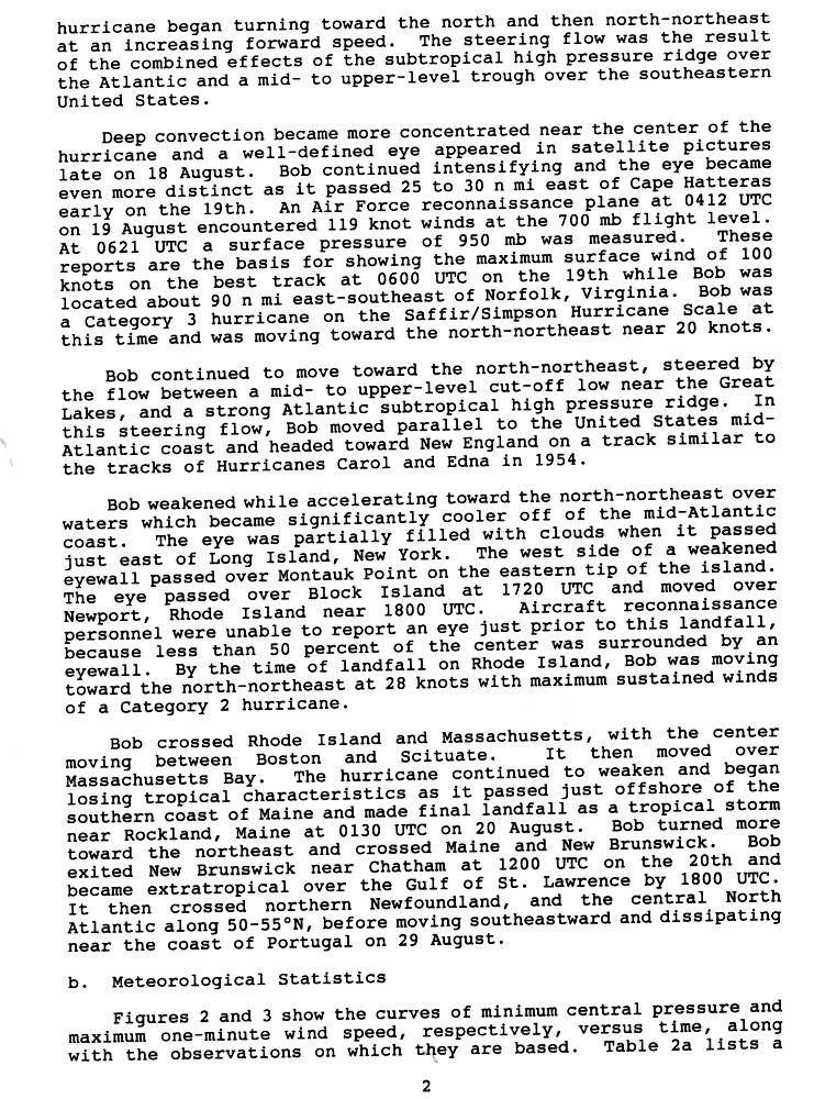
Bob tracked parallel to the mid-Atlantic coast toward New England. Its eye crossed Block Island, Rhode Island, at 1:20 p.m. EDT on August 19, 1991, then moved over Newport near 2 p.m. EDT as a Category 2 hurricane.1 NHC's best track gives 90-knot (104 mph) winds and a 962 mb central pressure at Block Island, and 85-knot (98 mph) winds and 964 mb at the Newport landfall.2 The center crossed Rhode Island and Massachusetts and made a final landfall as a tropical storm near Rockland, Maine, at 9:30 p.m. EDT.1
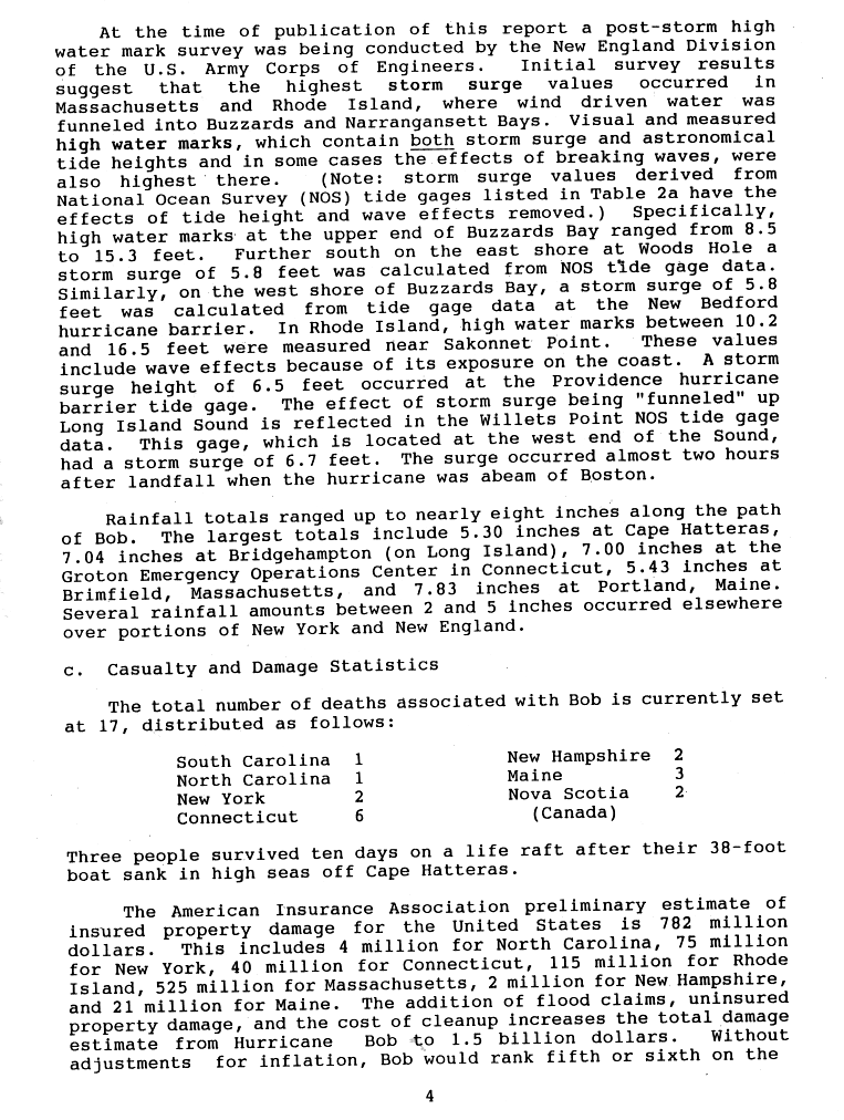
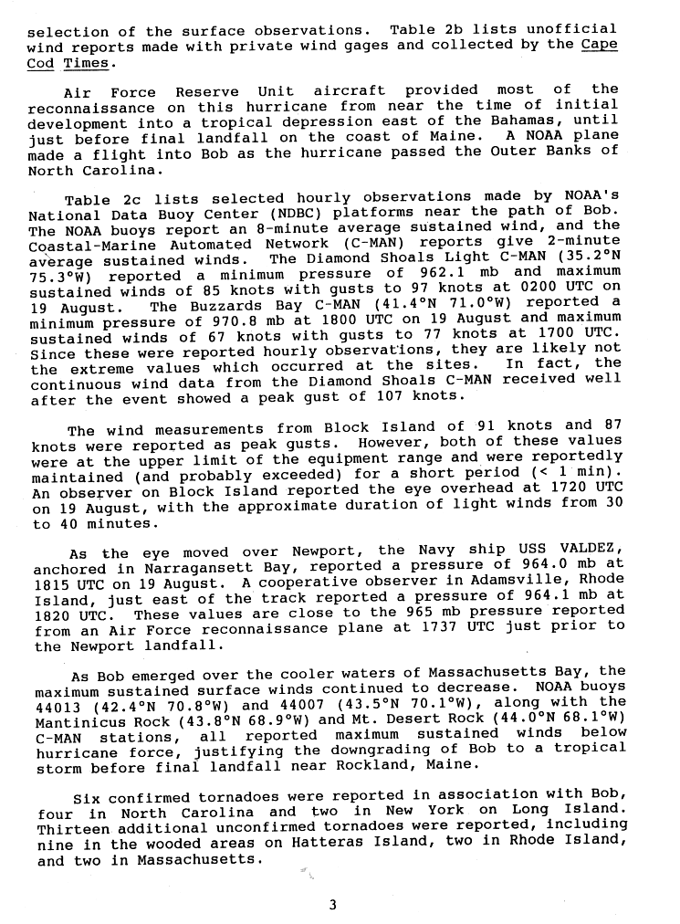
The highest surge came where wind pushed water into Buzzards and Narragansett bays. High water marks at the head of Buzzards Bay ran 8.5 to 15.3 feet, and surge was 5.8 feet at Woods Hole and at the New Bedford hurricane barrier.3 In Rhode Island, high water marks near Sakonnet Point reached 10.2 to 16.5 feet with waves, and the Providence hurricane barrier gauge recorded a 6.5-foot surge.3 NWS Boston lists gusts of 125 mph in Brewster and North Truro on Cape Cod, where North Truro also had the highest sustained wind, 100 mph. Block Island reported a 91-knot (105 mph) gust, at the upper limit of its equipment.4,5 On Cove Road in Mattapoisett, 29 of 37 homes were destroyed, and 32 of 35 shoreline homes were lost at Angelica Point.4
NHC estimated Bob's total damage at $1.5 billion and counted 17 deaths, including 6 in Connecticut.3
Sources
- 1. NOAA National Hurricane Center: Preliminary Report, Hurricane Bob, 16 to 20 August 1991 (page 2)
- 2. NOAA National Hurricane Center: Atlantic hurricane database (HURDAT2), 1851 to 2025
- 3. NOAA National Hurricane Center: Preliminary Report, Hurricane Bob, 16 to 20 August 1991 (page 4)
- 4. NWS Boston: Hurricane Bob (1991)
- 5. NOAA National Hurricane Center: Preliminary Report, Hurricane Bob, 16 to 20 August 1991 (page 3)
Best track (55 positions)
| Time | Status | Wind | Pressure | Position |
|---|---|---|---|---|
| Aug 16, 00:00 UTC | Tropical depression | 29 mph | 1014 mb | 25.6°N, 74.3°W |
| Aug 16, 06:00 UTC | Tropical depression | 29 mph | 1012 mb | 25.7°N, 74.9°W |
| Aug 16, 12:00 UTC | Tropical depression | 35 mph | 1010 mb | 25.9°N, 75.4°W |
| Aug 16, 18:00 UTC | Tropical storm | 40 mph | 1005 mb | 26.4°N, 75.8°W |
| Aug 17, 00:00 UTC | Tropical storm | 46 mph | 1003 mb | 27.1°N, 76.2°W |
| Aug 17, 06:00 UTC | Tropical storm | 52 mph | 998 mb | 27.8°N, 76.5°W |
| Aug 17, 12:00 UTC | Tropical storm | 63 mph | 996 mb | 28.4°N, 76.9°W |
| Aug 17, 18:00 UTC | Category 1 hurricane | 75 mph | 986 mb | 29.0°N, 77.1°W |
| Aug 18, 00:00 UTC | Category 1 hurricane | 81 mph | 980 mb | 29.7°N, 77.0°W |
| Aug 18, 06:00 UTC | Category 1 hurricane | 86 mph | 979 mb | 30.5°N, 76.9°W |
| Aug 18, 12:00 UTC | Category 1 hurricane | 92 mph | 974 mb | 31.5°N, 76.6°W |
| Aug 18, 18:00 UTC | Category 2 hurricane | 98 mph | 965 mb | 33.0°N, 76.1°W |