Hurricane Jerry (1989)
Hurricane Jerry was a Category 1 hurricane at its peak, with 86 mph winds and a lowest pressure of 982 mb, per NOAA's National Hurricane Center. Modeled winds reached tropical-storm force (39 mph) at 7 of the cities we track; the strongest was League City, TX, with a modeled peak gust of 83 mph.
- Peak strength86 mph winds (1-minute)
- Category 1
- Cities with tropical-storm-force windsModeled, of the cities we track
- 7
- LandfallsFirst October 16, 1989
- 1
- Lowest pressure
- 982 mb
Track, wind field and cities
Select a piece of the track or a city for details.
- Depression or weaker
- Tropical storm
- Hurricane, Category 1 or 2
- Major hurricane, Category 3 to 5
- Landfall
- City (larger ring, stronger modeled gust)
- Modeled wind field, 39 to 111 mph sustained (darker, stronger; orange 111 mph+)
The shaded areas are where our model puts Hurricane Jerry’s sustained winds over open land at 39 mph or more (tropical-storm force), 58, 74 (hurricane force) and 111 mph (major hurricane force) at some point along its track. Modeled, not measured. How we model hurricane winds
Landfalls
- October 16, 1989, Category 1 at 86 mph, about 21 miles from League City, TX
Modeled winds at cities (7)
Estimated peak winds for open, flat ground at each city’s center. Not measurements. How we model hurricane winds
| City | Peak gust | Sustained | Closest pass | Peak |
|---|---|---|---|---|
| League City, TX | 83 mph | 68 mph | 8 miles | Oct 15, 1989, 6:45 PM CDT |
| Pasadena, TX | 79 mph | 64 mph | 11 miles | Oct 15, 1989, 6:45 PM CDT |
| Pearland, TX | 78 mph | 63 mph | 21 miles | Oct 15, 1989, 6:45 PM CDT |
| Houston, TX | 69 mph | 56 mph | 26 miles | Oct 15, 1989, 6:45 PM CDT |
| Sugar Land, TX | 68 mph | 55 mph | 40 miles | Oct 15, 1989, 6:45 PM CDT |
| Beaumont, TX | 56 mph | 46 mph | 47 miles | Oct 15, 1989, 6:45 PM CDT |
| Conroe, TX | 51 mph | 41 mph | 34 miles | Oct 15, 1989, 6:45 PM CDT |
What happened
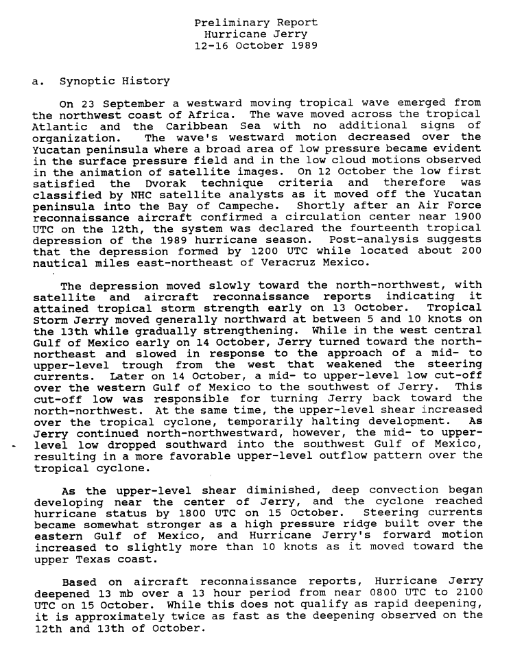
Jerry formed in the Bay of Campeche on October 12, 1989, and came ashore on Galveston Island near Jamaica Beach, Texas, at about 0030 UTC on October 16 (7:30 p.m. CDT on October 15) as a Category 1 hurricane.1,2 NHC's best track puts landfall at 75 knots (86 mph) with a 983 mb central pressure.3 Jerry weakened to a tropical storm by 0600 UTC as it moved north over eastern Texas.2
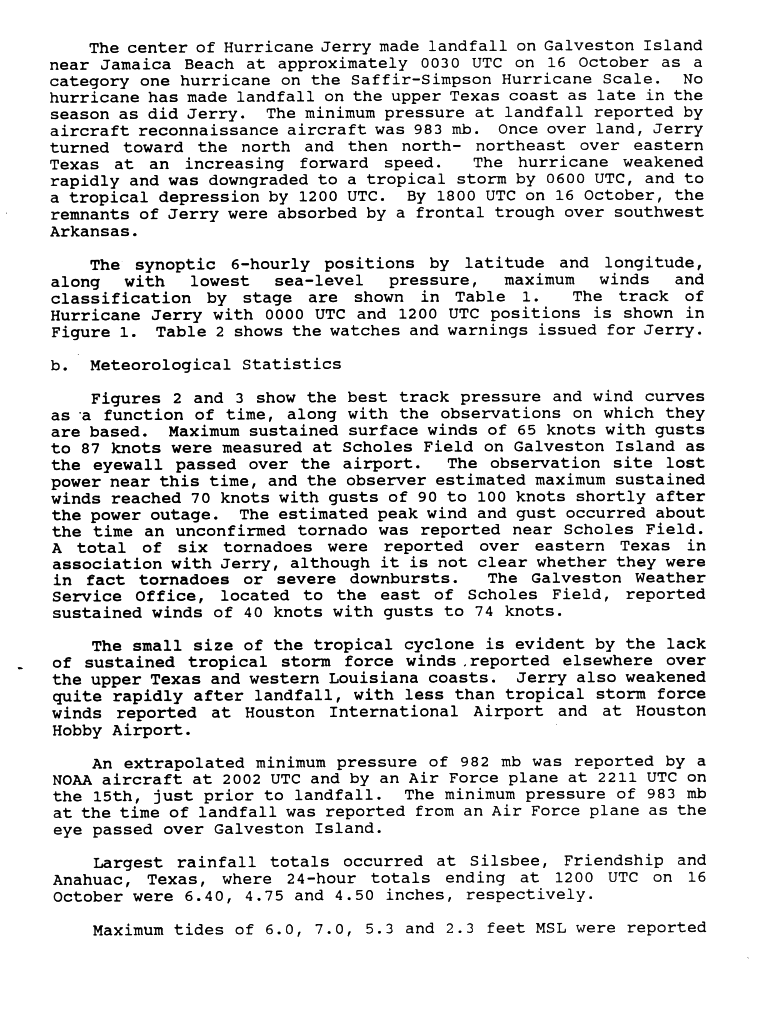
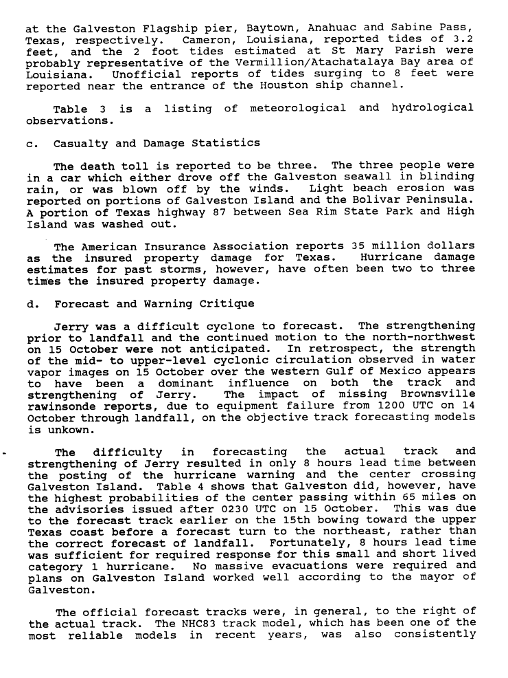
Scholes Field on Galveston Island measured sustained winds of 65 knots (75 mph) with gusts to 87 knots (100 mph) as the eyewall crossed the airport.2 Tides reached 7.0 feet above mean sea level at Baytown, 6.0 feet at the Galveston Flagship pier and 5.3 feet at Anahuac.2,4 Six tornadoes were reported over eastern Texas, though NHC could not say whether they were tornadoes or severe downbursts.2 Three people died when their car went off the Galveston seawall.4
Sources
- 1. NOAA National Hurricane Center: Preliminary Report, Hurricane Jerry, 12-16 October 1989 (scanned page 1)
- 2. NOAA National Hurricane Center: Preliminary Report, Hurricane Jerry, 12-16 October 1989 (scanned page 2)
- 3. NOAA National Hurricane Center: Atlantic hurricane database (HURDAT2), 1851 to 2025
- 4. NOAA National Hurricane Center: Preliminary Report, Hurricane Jerry, 12-16 October 1989 (scanned page 3)
Best track (20 positions)
| Time | Status | Wind | Pressure | Position |
|---|---|---|---|---|
| Oct 12, 12:00 UTC | Tropical depression | 29 mph | 1009 mb | 19.4°N, 92.4°W |
| Oct 12, 18:00 UTC | Tropical depression | 35 mph | 1006 mb | 19.8°N, 92.7°W |
| Oct 13, 00:00 UTC | Tropical storm | 40 mph | 1004 mb | 20.4°N, 93.0°W |
| Oct 13, 06:00 UTC | Tropical storm | 46 mph | 1001 mb | 21.0°N, 93.2°W |
| Oct 13, 12:00 UTC | Tropical storm | 52 mph | 997 mb | 21.7°N, 93.3°W |
| Oct 13, 18:00 UTC | Tropical storm | 58 mph | 995 mb | 22.6°N, 93.4°W |
| Oct 14, 00:00 UTC | Tropical storm | 63 mph | 991 mb | 23.5°N, 93.5°W |
| Oct 14, 06:00 UTC | Tropical storm | 63 mph | 992 mb | 24.2°N, 93.3°W |
| Oct 14, 12:00 UTC | Tropical storm | 63 mph | 992 mb | 24.6°N, 93.1°W |
| Oct 14, 18:00 UTC | Tropical storm | 63 mph | 994 mb | 25.0°N, 92.8°W |
| Oct 15, 00:00 UTC | Tropical storm | 63 mph | 994 mb | 25.8°N, 93.1°W |
| Oct 15, 06:00 UTC | Tropical storm | 63 mph | 994 mb | 26.5°N, 93.4°W |