Hurricane Hugo (1989)
Hurricane Hugo was a Category 5 hurricane at its peak, with 161 mph winds and a lowest pressure of 918 mb, per NOAA's National Hurricane Center. Modeled winds reached tropical-storm force (39 mph) at 12 of the cities we track; the strongest was Charleston, SC, with a modeled peak gust of 135 mph.
- Peak strength161 mph winds (1-minute)
- Category 5
- Cities with tropical-storm-force windsModeled, of the cities we track
- 12
- LandfallsFirst September 17, 1989
- 5
- Lowest pressure
- 918 mb
Track, wind field and cities
Select a piece of the track or a city for details.
- Depression or weaker
- Tropical storm
- Hurricane, Category 1 or 2
- Major hurricane, Category 3 to 5
- Landfall
- City (larger ring, stronger modeled gust)
- Modeled wind field, 39 to 111 mph sustained (darker, stronger; orange 111 mph+)
The shaded areas are where our model puts Hurricane Hugo’s sustained winds over open land at 39 mph or more (tropical-storm force), 58, 74 (hurricane force) and 111 mph (major hurricane force) at some point along its track. Modeled, not measured. How we model hurricane winds
Landfalls
- September 17, 1989, Category 4 at 138 mph, in the French West Indies
- September 18, 1989, Category 4 at 138 mph, in the US Virgin Islands
- September 18, 1989, Category 3 at 127 mph, in Puerto Rico
- September 18, 1989, Category 3 at 127 mph, in Puerto Rico
- September 22, 1989, Category 4 at 138 mph, about 10 miles from Charleston, SC
Modeled winds at cities (12)
Estimated peak winds for open, flat ground at each city’s center. Not measurements. How we model hurricane winds
| City | Peak gust | Sustained | Closest pass | Peak |
|---|---|---|---|---|
| Charleston, SC | 135 mph | 110 mph | 8 miles | Sep 21, 1989, 11:30 PM EDT |
| Myrtle Beach, SC | 86 mph | 70 mph | 78 miles | Sep 22, 1989, 12:00 AM EDT |
| Hilton Head Island, SC | 79 mph | 64 mph | 69 miles | Sep 21, 1989, 11:45 PM EDT |
| Charlotte, NC | 77 mph | 63 mph | 24 miles | Sep 22, 1989, 5:15 AM EDT |
| Columbia, SC | 73 mph | 60 mph | 15 miles | Sep 22, 1989, 2:30 AM EDT |
| Hickory, NC | 64 mph | 52 mph | 15 miles | Sep 22, 1989, 6:15 AM EDT |
| Savannah, GA | 59 mph | 48 mph | 98 miles | Sep 21, 1989, 11:45 PM EDT |
| Winston-Salem, NC | 55 mph | 45 mph | 79 miles | Sep 22, 1989, 6:45 AM EDT |
| Fayetteville, NC | 51 mph | 42 mph | 115 miles | Sep 22, 1989, 3:30 AM EDT |
| Wilmington, NC | 49 mph | 40 mph | 144 miles | Sep 22, 1989, 12:00 AM EDT |
| Greensboro, NC | 49 mph | 40 mph | 101 miles | Sep 22, 1989, 6:15 AM EDT |
| Spartanburg, SC | 49 mph | 40 mph | 40 miles | Sep 22, 1989, 4:45 AM EDT |
What happened
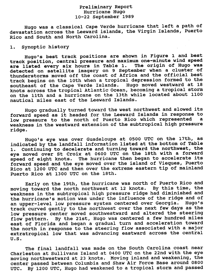
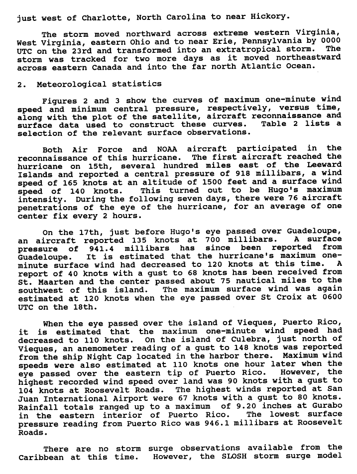
After crossing the northeast Caribbean, Hugo came ashore at Sullivan's Island, just north of Charleston, South Carolina, around midnight on September 22, 1989, as a Category 4 hurricane.1,2 NHC's best track puts landfall at 0400 UTC with 120-knot (138 mph) winds and a 934 mb central pressure.3 The center passed between Columbia and Shaw Air Force Base, then weakened to a tropical storm as it passed just west of Charlotte, North Carolina.2,4
Storm tides reached 19.8 feet above mean sea level at Bulls Bay, 15.0 feet at Isle of Palms, 13.0 feet at Sullivan's Island, 11.9 feet at Folly Beach and 10.4 feet in downtown Charleston.1 Measured gusts reached 108 mph in downtown Charleston, 107 mph at Folly Beach and 98 mph at the North Charleston airport.1 Inland, Shaw Air Force Base reported a 110 mph gust and Charlotte reported a 99 mph gust.5 Most buildings in downtown Charleston were significantly damaged, and most homes on Sullivan's Island and Isle of Palms were left uninhabitable.1 NHC counts 21 deaths on the US mainland and estimates mainland damage at $7 billion.5
Sources
- 1. NWS Charleston, SC: Hurricane Hugo, September 21-22, 1989
- 2. NOAA National Hurricane Center: Preliminary Report, Hurricane Hugo, 10-22 September 1989 (scanned page 1)
- 3. NOAA National Hurricane Center: Atlantic hurricane database (HURDAT2), 1851 to 2025
- 4. NOAA National Hurricane Center: Preliminary Report, Hurricane Hugo, 10-22 September 1989 (scanned page 2)
- 5. NOAA National Hurricane Center: Hurricane History: Hugo 1989
Best track (64 positions)
| Time | Status | Wind | Pressure | Position |
|---|---|---|---|---|
| Sep 10, 12:00 UTC | Tropical depression | 29 mph | 1010 mb | 13.2°N, 20.0°W |
| Sep 10, 18:00 UTC | Tropical depression | 29 mph | 1010 mb | 13.3°N, 21.8°W |
| Sep 11, 00:00 UTC | Tropical depression | 35 mph | 1009 mb | 13.2°N, 23.7°W |
| Sep 11, 06:00 UTC | Tropical depression | 35 mph | 1007 mb | 13.0°N, 25.5°W |
| Sep 11, 12:00 UTC | Tropical depression | 35 mph | 1005 mb | 12.8°N, 27.3°W |
| Sep 11, 18:00 UTC | Tropical storm | 40 mph | 1003 mb | 12.5°N, 29.2°W |
| Sep 12, 00:00 UTC | Tropical storm | 46 mph | 1002 mb | 12.5°N, 31.0°W |
| Sep 12, 06:00 UTC | Tropical storm | 52 mph | 1000 mb | 12.5°N, 32.9°W |
| Sep 12, 12:00 UTC | Tropical storm | 52 mph | 998 mb | 12.5°N, 34.8°W |
| Sep 12, 18:00 UTC | Tropical storm | 58 mph | 996 mb | 12.6°N, 36.7°W |
| Sep 13, 00:00 UTC | Tropical storm | 63 mph | 994 mb | 12.6°N, 38.2°W |
| Sep 13, 06:00 UTC | Tropical storm | 63 mph | 992 mb | 12.7°N, 40.0°W |