Hurricane Gloria (1985)
Hurricane Gloria was a Category 4 hurricane at its peak, with 144 mph winds and a lowest pressure of 920 mb, per NOAA's National Hurricane Center. Modeled winds reached tropical-storm force (39 mph) at 13 of the cities we track; the strongest was Norwich, CT, with a modeled peak gust of 90 mph.
- Peak strength144 mph winds (1-minute)
- Category 4
- Cities with tropical-storm-force windsModeled, of the cities we track
- 13
- LandfallsFirst September 27, 1985
- 2
- Lowest pressure
- 920 mb
Track, wind field and cities
Select a piece of the track or a city for details.
- Depression or weaker
- Tropical storm
- Hurricane, Category 1 or 2
- Major hurricane, Category 3 to 5
- Landfall
- City (larger ring, stronger modeled gust)
- Modeled wind field, 39 to 111 mph sustained (darker, stronger; orange 111 mph+)
The shaded areas are where our model puts Hurricane Gloria’s sustained winds over open land at 39 mph or more (tropical-storm force), 58, 74 (hurricane force) and 111 mph (major hurricane force) at some point along its track. Modeled, not measured. How we model hurricane winds
Landfalls
- September 27, 1985, Category 2 at 104 mph, about 112 miles from Virginia Beach, VA
- September 27, 1985, Category 1 at 86 mph, about 41 miles from Bridgeport, CT
Modeled winds at cities (13)
Estimated peak winds for open, flat ground at each city’s center. Not measurements. How we model hurricane winds
| City | Peak gust | Sustained | Closest pass | Peak |
|---|---|---|---|---|
| Norwich, CT | 90 mph | 73 mph | 42 miles | Sep 27, 1985, 2:00 PM EDT |
| Hartford, CT | 86 mph | 70 mph | 10 miles | Sep 27, 1985, 1:45 PM EDT |
| Worcester, MA | 84 mph | 69 mph | 31 miles | Sep 27, 1985, 2:45 PM EDT |
| Providence, RI | 81 mph | 66 mph | 64 miles | Sep 27, 1985, 2:30 PM EDT |
| Boston, MA | 77 mph | 63 mph | 64 miles | Sep 27, 1985, 3:15 PM EDT |
| New Haven, CT | 75 mph | 61 mph | 8 miles | Sep 27, 1985, 1:00 PM EDT |
| Manchester, NH | 73 mph | 59 mph | 23 miles | Sep 27, 1985, 3:45 PM EDT |
| Portland, ME | 69 mph | 56 mph | 55 miles | Sep 27, 1985, 5:15 PM EDT |
| Bridgeport, CT | 63 mph | 51 mph | 8 miles | Sep 27, 1985, 2:00 PM EDT |
| Atlantic City, NJ | 63 mph | 51 mph | 24 miles | Sep 27, 1985, 7:45 AM EDT |
| Waterbury, CT | 61 mph | 50 mph | 6 miles | Sep 27, 1985, 2:15 PM EDT |
| Virginia Beach, VA | 61 mph | 49 mph | 52 miles | Sep 27, 1985, 4:00 AM EDT |
| Springfield, MA | 58 mph | 48 mph | 6 miles | Sep 27, 1985, 3:00 PM EDT |
What happened
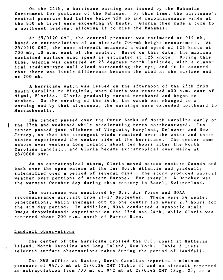
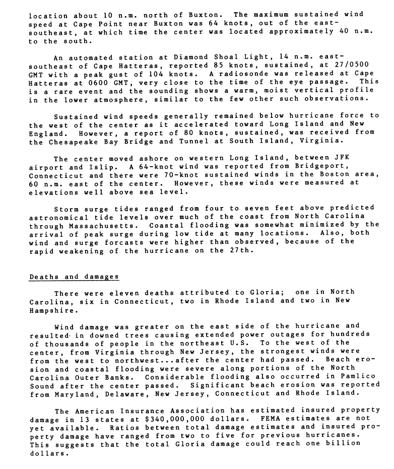
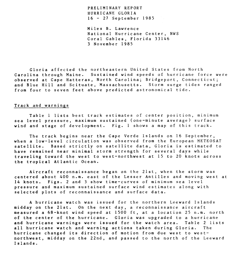
Gloria crossed Hatteras Island, North Carolina, at about 1:30 a.m. EDT on September 27, 1985, as a Category 2 hurricane with 90-knot (104 mph) winds and a 942 mb central pressure.1,2 About ten hours later, near noon EDT, the center came ashore on western Long Island, New York, between JFK Airport and Islip, with 75-knot (86 mph) winds and a 961 mb pressure.1,2,3
Storm surge tides ran 4 to 7 feet above predicted tide levels along much of the coast from North Carolina to Massachusetts.3 Beach erosion and coastal flooding were severe on parts of the North Carolina Outer Banks, and considerable flooding occurred around Pamlico Sound after the center passed.3 An automated station at Diamond Shoal Light, 14 nautical miles east-southeast of Cape Hatteras, measured 85-knot (98 mph) sustained winds and a 104-knot (120 mph) gust.3 Sustained hurricane-force winds were also recorded at Bridgeport, Connecticut, and at Blue Hill and Scituate, Massachusetts, and the Chesapeake Bay Bridge-Tunnel in Virginia reported 80 knots (92 mph) sustained.3,4 Wind damage was heaviest east of the center, where falling trees caused long power outages for hundreds of thousands of people in the Northeast.3 NHC's preliminary report counts 11 deaths: one in North Carolina, six in Connecticut, two in Rhode Island and two in New Hampshire.3 NHC's 1985 annual data report lists $900 million in U.S. damage from Gloria.5
Sources
- 1. NOAA National Hurricane Center: Atlantic hurricane database (HURDAT2), 1851 to 2025
- 2. NOAA National Hurricane Center: Preliminary Report, Hurricane Gloria, 16 to 27 September 1985 (page 2)
- 3. NOAA National Hurricane Center: Preliminary Report, Hurricane Gloria, 16 to 27 September 1985 (page 3)
- 4. NOAA National Hurricane Center: Preliminary Report, Hurricane Gloria, 16 to 27 September 1985 (page 1)
- 5. NOAA National Hurricane Center: Annual Data and Verification Tabulation, Atlantic Tropical Cyclones 1985 (NOAA Technical Memorandum NWS NHC 29)
Best track (65 positions)
| Time | Status | Wind | Pressure | Position |
|---|---|---|---|---|
| Sep 16, 12:00 UTC | Tropical depression | 29 mph | 1009 mb | 13.3°N, 23.6°W |
| Sep 16, 18:00 UTC | Tropical depression | 29 mph | 1008 mb | 13.8°N, 24.8°W |
| Sep 17, 00:00 UTC | Tropical depression | 35 mph | 1008 mb | 14.1°N, 25.9°W |
| Sep 17, 06:00 UTC | Tropical depression | 35 mph | 1008 mb | 14.3°N, 27.1°W |
| Sep 17, 12:00 UTC | Tropical storm | 40 mph | 1007 mb | 14.6°N, 28.3°W |
| Sep 17, 18:00 UTC | Tropical storm | 40 mph | 1007 mb | 14.7°N, 29.6°W |
| Sep 18, 00:00 UTC | Tropical storm | 40 mph | 1006 mb | 14.9°N, 31.7°W |
| Sep 18, 06:00 UTC | Tropical storm | 40 mph | 1006 mb | 15.0°N, 33.8°W |
| Sep 18, 12:00 UTC | Tropical storm | 40 mph | 1006 mb | 15.1°N, 35.9°W |
| Sep 18, 18:00 UTC | Tropical depression | 35 mph | 1006 mb | 15.4°N, 38.1°W |
| Sep 19, 00:00 UTC | Tropical depression | 35 mph | 1006 mb | 15.8°N, 39.5°W |
| Sep 19, 06:00 UTC | Tropical depression | 35 mph | 1006 mb | 16.2°N, 40.9°W |