Hurricane Gerda (1969)
Hurricane Gerda was a Category 3 hurricane at its peak, with 121 mph winds and a lowest pressure of 977 mb, per NOAA's National Hurricane Center. Modeled winds reached tropical-storm force (39 mph) at 3 of the cities we track; the strongest was Providence, RI, with a modeled peak gust of 55 mph.
- Peak strength121 mph winds (1-minute)
- Category 3
- Cities with tropical-storm-force windsModeled, of the cities we track
- 3
- LandfallsFirst September 10, 1969
- 1
- Lowest pressure
- 977 mb
Track, wind field and cities
Select a piece of the track or a city for details.
- Depression or weaker
- Tropical storm
- Hurricane, Category 1 or 2
- Major hurricane, Category 3 to 5
- Landfall
- City (larger ring, stronger modeled gust)
- Modeled wind field, 39 to 111 mph sustained (darker, stronger; orange 111 mph+)
The shaded areas are where our model puts Hurricane Gerda’s sustained winds over open land at 39 mph or more (tropical-storm force), 58, 74 (hurricane force) and 111 mph (major hurricane force) at some point along its track. Modeled, not measured. How we model hurricane winds
Landfalls
- September 10, 1969, Category 1 at 81 mph, 44.7°N, 67.3°W
Modeled winds at cities (3)
Estimated peak winds for open, flat ground at each city’s center. Not measurements. How we model hurricane winds
| City | Peak gust | Sustained | Closest pass | Peak |
|---|---|---|---|---|
| Providence, RI | 55 mph | 45 mph | 122 miles | Sep 9, 1969, 2:00 PM GMT-4 |
| Boston, MA | 54 mph | 44 mph | 117 miles | Sep 9, 1969, 2:15 PM GMT-4 |
| Norwich, CT | 48 mph | 39 mph | 140 miles | Sep 9, 1969, 2:00 PM GMT-4 |
What happened
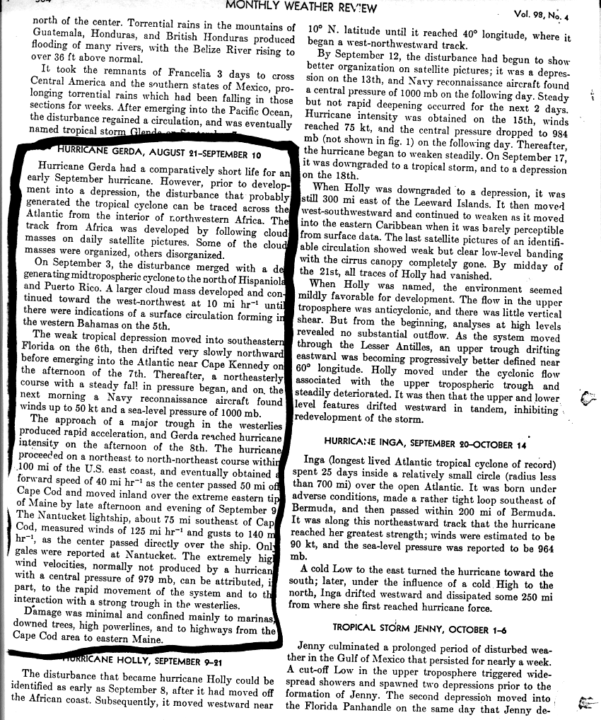
After crossing southeast Florida as a weak tropical depression, Gerda passed about 50 miles off Cape Cod at a forward speed of about 40 mph and moved inland over the far eastern tip of Maine late on September 9, 1969.1 NHC's best track puts landfall at 0100 UTC September 10 (9 p.m. EDT September 9) with 70-knot (81 mph) winds, a Category 1 hurricane.2
The Nantucket lightship, about 75 miles southeast of Cape Cod, measured 125 mph winds with gusts to 140 mph, but Nantucket itself reported only gale-force winds.1 Monthly Weather Review described the damage as minimal, mostly to marinas, trees, high power lines and highways from Cape Cod to eastern Maine.1
Sources
- 1. NOAA National Hurricane Center: Hurricane Gerda, August 21 to September 10 (Monthly Weather Review, Atlantic hurricane season of 1969), NHC storm wallet
- 2. NOAA National Hurricane Center: Atlantic hurricane database (HURDAT2), 1851 to 2025
Best track (23 positions)
| Time | Status | Wind | Pressure | Position |
|---|---|---|---|---|
| Sep 7, 00:00 UTC | Tropical depression | 29 mph | 1011 mb | 26.3°N, 80.4°W |
| Sep 7, 06:00 UTC | Tropical depression | 29 mph | 27.0°N, 80.6°W | |
| Sep 7, 12:00 UTC | Tropical depression | 29 mph | 1010 mb | 27.6°N, 80.7°W |
| Sep 7, 18:00 UTC | Tropical depression | 35 mph | 28.2°N, 80.4°W | |
| Sep 8, 00:00 UTC | Tropical storm | 40 mph | 28.8°N, 80.0°W | |
| Sep 8, 06:00 UTC | Tropical storm | 46 mph | 29.5°N, 79.6°W | |
| Sep 8, 12:00 UTC | Tropical storm | 58 mph | 1000 mb | 30.4°N, 79.0°W |
| Sep 8, 18:00 UTC | Tropical storm | 69 mph | 993 mb | 31.7°N, 78.0°W |
| Sep 9, 00:00 UTC | Category 1 hurricane | 81 mph | 991 mb | 33.4°N, 76.3°W |
| Sep 9, 06:00 UTC | Category 1 hurricane | 92 mph | 986 mb | 35.4°N, 74.4°W |
| Sep 9, 12:00 UTC | Category 2 hurricane | 104 mph | 984 mb | 38.0°N, 72.2°W |
| Sep 9, 18:00 UTC | Category 3 hurricane | 121 mph | 980 mb | 40.9°N, 69.4°W |