Hurricane Isbell (1964)
Hurricane Isbell was a Category 3 hurricane at its peak, with 115 mph winds and a lowest pressure of 964 mb, per NOAA's National Hurricane Center. Modeled winds reached tropical-storm force (39 mph) at 4 of the cities we track; the strongest was Miami, FL, with a modeled peak gust of 80 mph.
- Peak strength115 mph winds (1-minute)
- Category 3
- Cities with tropical-storm-force windsModeled, of the cities we track
- 4
- LandfallsFirst October 13, 1964
- 3
- Lowest pressure
- 964 mb
Track, wind field and cities
Select a piece of the track or a city for details.
- Depression or weaker
- Tropical storm
- Hurricane, Category 1 or 2
- Major hurricane, Category 3 to 5
- Landfall
- City (larger ring, stronger modeled gust)
- Modeled wind field, 39 to 111 mph sustained (darker, stronger; orange 111 mph+)
The shaded areas are where our model puts Hurricane Isbell’s sustained winds over open land at 39 mph or more (tropical-storm force), 58, 74 (hurricane force) and 111 mph (major hurricane force) at some point along its track. Modeled, not measured. How we model hurricane winds
Landfalls
- October 13, 1964, Category 2 at 98 mph, in Cuba
- October 14, 1964, Category 2 at 104 mph, about 34 miles from Naples, FL
- October 16, 1964, tropical storm at 69 mph, 34.7°N, 76.7°W
Modeled winds at cities (4)
Estimated peak winds for open, flat ground at each city’s center. Not measurements. How we model hurricane winds
| City | Peak gust | Sustained | Closest pass | Peak |
|---|---|---|---|---|
| Miami, FL | 80 mph | 65 mph | 49 miles | Oct 14, 1964, 8:00 PM GMT-4 |
| Naples, FL | 79 mph | 64 mph | 35 miles | Oct 14, 1964, 4:45 PM GMT-4 |
| Port St. Lucie, FL | 69 mph | 56 mph | 29 miles | Oct 14, 1964, 9:45 PM GMT-4 |
| Cape Coral, FL | 53 mph | 43 mph | 69 miles | Oct 14, 1964, 4:45 PM GMT-4 |
What happened
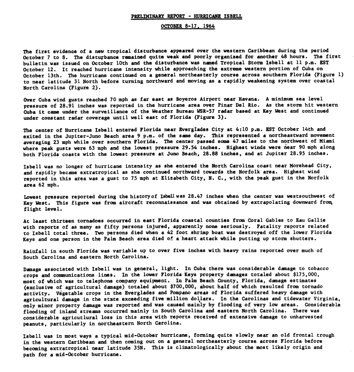
Isbell crossed western Cuba and came ashore near Everglades City, Florida, at 2100 UTC on October 14, 1964, as a Category 2 hurricane with 90-knot (104 mph) winds and a 970 mb pressure, according to NHC's best track.1,2 It crossed South Florida and left the east coast near Jupiter and Juno Beach around 9 p.m. EST the same day.2 It reached the North Carolina coast near Morehead City on October 16 as a tropical storm with 60-knot (69 mph) winds.1,2
Winds near 90 mph hit both Florida coasts, and Miami, 47 miles from the center, had peak gusts of 63 mph.2 At least 13 tornadoes touched down in east Florida coastal counties from Coral Gables to Eau Gallie, and as many as 50 people were reported hurt.2 The Weather Bureau's preliminary report put damage in Palm Beach County, not counting crops, at about $700,000, about half of it from tornadoes, and property damage in the lower Keys at about $175,000, mostly to telephone equipment.2 In the Carolinas and tidewater Virginia, property damage was minor and came mainly from flooding of very low areas, and Elizabeth City, North Carolina, reported a 75 mph gust.2 The report counts three deaths tied to Isbell: two when a shrimp boat was destroyed off the lower Keys and one in the Palm Beach area.2
Sources
- 1. NOAA National Hurricane Center: Atlantic hurricane database (HURDAT2), 1851 to 2025
- 2. NOAA National Hurricane Center: Preliminary Report, Hurricane Isbell, October 8 to 17, 1964 (U.S. Weather Bureau), storm wallet archive
Best track (34 positions)
| Time | Status | Wind | Pressure | Position |
|---|---|---|---|---|
| Oct 9, 06:00 UTC | Tropical depression | 35 mph | 15.5°N, 83.0°W | |
| Oct 9, 12:00 UTC | Tropical depression | 35 mph | 16.0°N, 83.6°W | |
| Oct 9, 18:00 UTC | Tropical depression | 35 mph | 16.5°N, 84.2°W | |
| Oct 10, 00:00 UTC | Tropical depression | 35 mph | 17.0°N, 84.7°W | |
| Oct 10, 06:00 UTC | Tropical depression | 35 mph | 17.6°N, 85.0°W | |
| Oct 10, 12:00 UTC | Tropical depression | 35 mph | 18.1°N, 85.1°W | |
| Oct 10, 18:00 UTC | Tropical depression | 35 mph | 1008 mb | 18.5°N, 85.2°W |
| Oct 11, 00:00 UTC | Tropical storm | 40 mph | 18.9°N, 85.3°W | |
| Oct 11, 06:00 UTC | Tropical storm | 40 mph | 19.2°N, 85.4°W | |
| Oct 11, 12:00 UTC | Tropical depression | 35 mph | 1009 mb | 19.4°N, 85.5°W |
| Oct 11, 18:00 UTC | Tropical depression | 35 mph | 19.4°N, 85.5°W | |
| Oct 12, 00:00 UTC | Tropical depression | 35 mph | 1005 mb | 19.3°N, 85.6°W |