Hurricane Cleo (1964)
Hurricane Cleo was a Category 4 hurricane at its peak, with 150 mph winds and a lowest pressure of 938 mb, per NOAA's National Hurricane Center. Modeled winds reached tropical-storm force (39 mph) at 7 of the cities we track; the strongest was Miami, FL, with a modeled peak gust of 110 mph.
- Peak strength150 mph winds (1-minute)
- Category 4
- Cities with tropical-storm-force windsModeled, of the cities we track
- 7
- LandfallsFirst August 22, 1964
- 7
- Lowest pressure
- 938 mb
Track, wind field and cities
Select a piece of the track or a city for details.
- Depression or weaker
- Tropical storm
- Hurricane, Category 1 or 2
- Major hurricane, Category 3 to 5
- Landfall
- City (larger ring, stronger modeled gust)
- Modeled wind field, 39 to 111 mph sustained (darker, stronger; orange 111 mph+)
The shaded areas are where our model puts Hurricane Cleo’s sustained winds over open land at 39 mph or more (tropical-storm force), 58, 74 (hurricane force) and 111 mph (major hurricane force) at some point along its track. Modeled, not measured. How we model hurricane winds
Landfalls
- August 22, 1964, Category 3 at 127 mph, in the French West Indies
- August 22, 1964, Category 3 at 127 mph, in the French West Indies
- August 24, 1964, Category 4 at 150 mph, in Haiti
- August 25, 1964, Category 1 at 81 mph, in Cuba
- August 26, 1964, Category 1 at 81 mph, in Cuba
- August 27, 1964, Category 2 at 109 mph, about 7 miles from Miami, FL
- August 29, 1964, tropical storm at 58 mph, about 56 miles from Savannah, GA
Modeled winds at cities (7)
Estimated peak winds for open, flat ground at each city’s center. Not measurements. How we model hurricane winds
| City | Peak gust | Sustained | Closest pass | Peak |
|---|---|---|---|---|
| Miami, FL | 110 mph | 89 mph | 7 miles | Aug 27, 1964, 1:45 AM GMT-4 |
| Port St. Lucie, FL | 72 mph | 58 mph | 8 miles | Aug 27, 1964, 11:15 AM GMT-4 |
| Deltona, FL | 57 mph | 46 mph | 6 miles | Aug 28, 1964, 8:00 AM GMT-4 |
| Jacksonville, FL | 56 mph | 45 mph | 22 miles | Aug 28, 1964, 12:00 PM GMT-4 |
| Palm Bay, FL | 54 mph | 44 mph | 3 miles | Aug 27, 1964, 4:15 PM GMT-4 |
| Savannah, GA | 53 mph | 43 mph | 12 miles | Aug 29, 1964, 3:15 AM GMT-4 |
| Hilton Head Island, SC | 50 mph | 41 mph | 41 miles | Aug 29, 1964, 6:45 AM GMT-4 |
What happened
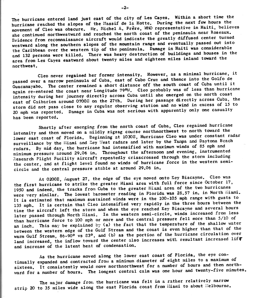
After crossing Cuba, Cleo turned north toward the lower east coast of Florida, and the edge of its eye moved onto Key Biscayne at 2 a.m. EST on August 27, 1964.1 NHC's best track puts the landfall at 0800 UTC that day as a Category 2 hurricane with 95-knot (109 mph) winds and a central pressure of 968 mb.2 The Weather Bureau estimated sustained winds of 100 to 105 mph with gusts to 135 mph.1 Cleo left Florida between St. Augustine and Jacksonville and came back ashore on the Georgia coast as a tropical storm on August 29.3,2
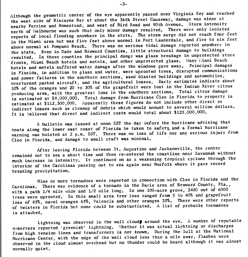
Major damage hit a strip 20 to 35 miles wide along Florida's east coast from Miami to about Melbourne.1 Storm surge stayed under 4 feet in the Miami area but reached 5 feet above normal at Fort Lauderdale and 5 to 6 feet above normal at Pompano Beach.3 Buildings in Dade and Broward counties had little structural damage.3 Most of the damage there was broken glass in unprotected storefronts and in Miami Beach hotels and motels, many of which took in water once their windows broke.3 The Weather Bureau estimated Florida property damage at $112.5 million, about $125 million with indirect costs, and reported no deaths in Florida.3
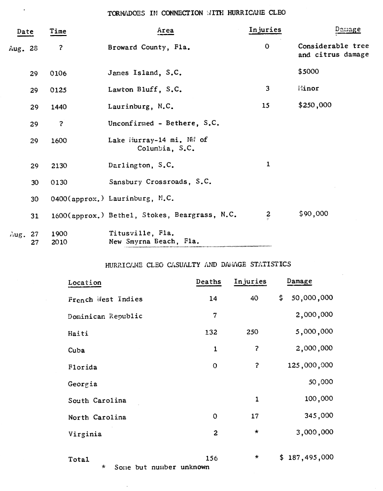
Nine or more tornadoes were reported in Florida and the Carolinas.3 One at Laurinburg, North Carolina, on August 29 injured 15 people and caused $250,000 in damage.4 Parts of Tidewater Virginia got 10 to 14 inches of rain in about 12 hours, and NOAA lists 2 deaths and $3 million in damage in Virginia.5
Sources
- 1. U.S. Weather Bureau (NOAA National Hurricane Center archive): Hurricane Cleo, August 20 to September 5, 1964: Preliminary Report, page 2
- 2. NOAA National Hurricane Center: Atlantic hurricane database (HURDAT2), 1851-2025
- 3. U.S. Weather Bureau (NOAA National Hurricane Center archive): Hurricane Cleo, August 20 to September 5, 1964: Preliminary Report, page 3
- 4. U.S. Weather Bureau (NOAA National Hurricane Center archive): Tornadoes in Connection with Hurricane Cleo; Casualty and Damage Statistics
- 5. NOAA Weather Prediction Center: Virginia Hurricane History: Late Twentieth Century
Best track (92 positions)
| Time | Status | Wind | Pressure | Position |
|---|---|---|---|---|
| Aug 20, 18:00 UTC | Tropical storm | 46 mph | 1003 mb | 13.1°N, 44.3°W |
| Aug 21, 00:00 UTC | Tropical storm | 46 mph | 13.3°N, 46.7°W | |
| Aug 21, 06:00 UTC | Tropical storm | 52 mph | 13.7°N, 49.1°W | |
| Aug 21, 12:00 UTC | Tropical storm | 63 mph | 1000 mb | 14.1°N, 51.4°W |
| Aug 21, 18:00 UTC | Category 1 hurricane | 75 mph | 993 mb | 14.5°N, 53.5°W |
| Aug 22, 00:00 UTC | Category 1 hurricane | 86 mph | 14.9°N, 55.7°W | |
| Aug 22, 06:00 UTC | Category 2 hurricane | 98 mph | 15.3°N, 57.7°W | |
| Aug 22, 12:00 UTC | Category 3 hurricane | 115 mph | 970 mb | 15.7°N, 59.7°W |
| Aug 22, 17:00 UTC (landfall) | Category 3 hurricane | 127 mph | 962 mb | 15.9°N, 61.3°W |
| Aug 22, 18:00 UTC (landfall) | Category 3 hurricane | 127 mph | 962 mb | 16.0°N, 61.6°W |
| Aug 23, 00:00 UTC | Category 4 hurricane | 138 mph | 16.2°N, 63.4°W | |
| Aug 23, 06:00 UTC | Category 4 hurricane | 144 mph | 16.3°N, 65.0°W |