Saffir-Simpson scale
Hail and wind · Cloudbreak team · Updated October 29, 2026 · 6 sources
How it works
The scale sorts hurricanes by wind speed so forecasts and warnings can say, in one number, how much wind damage to expect. Each category is a band of sustained wind, the wind averaged over one minute, not the higher gusts.1
| Category | mph | Knots |
|---|---|---|
| 1 | 74 to 95 | 64 to 82 |
| 2 | 96 to 110 | 83 to 95 |
| 3 (major) | 111 to 129 | 96 to 112 |
| 4 (major) | 130 to 156 | 113 to 136 |
| 5 (major) | 157 or higher | 137 or higher |
Damage climbs steeply with category. Citing a 2008 study, NHC says damage generally rises about fourfold with each category.2
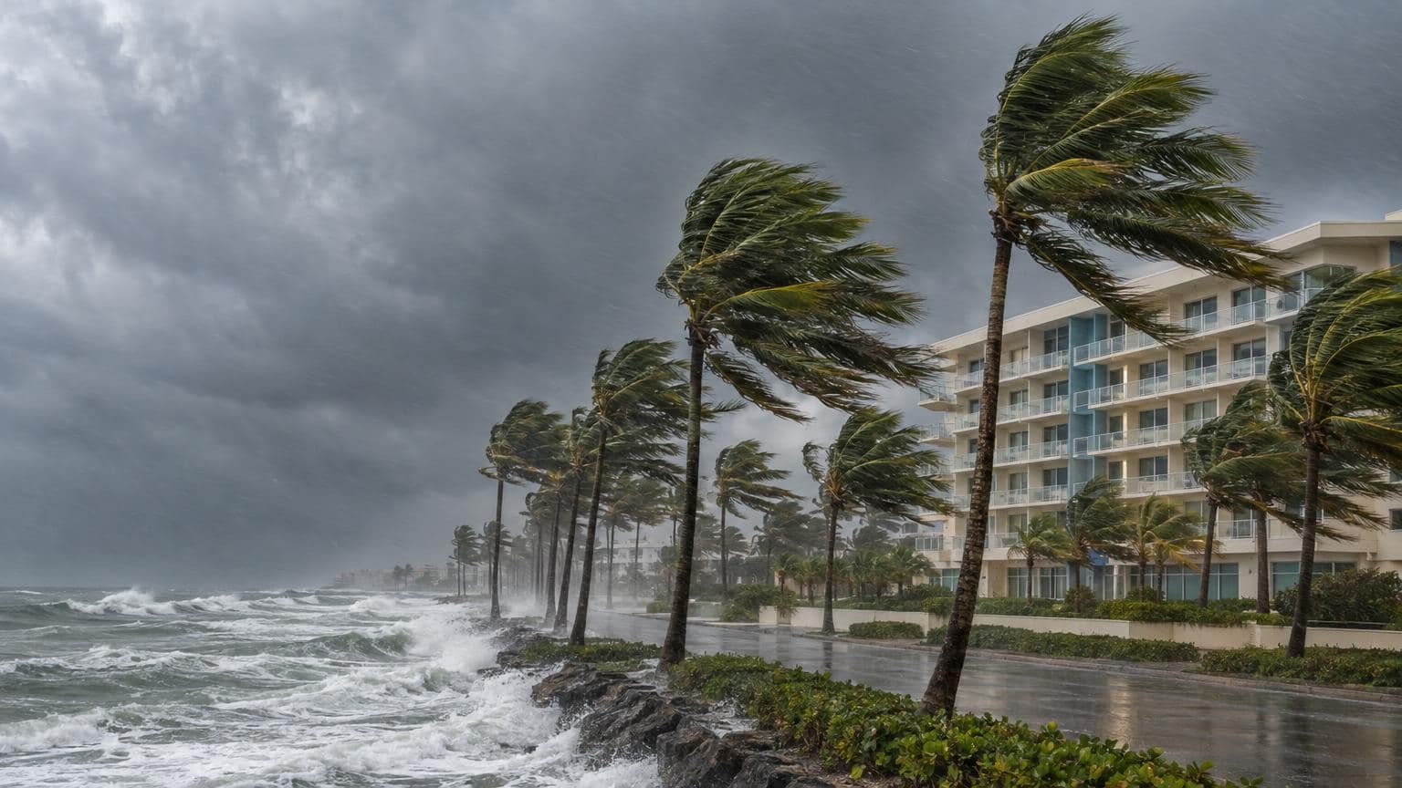
What each category means for commercial buildings
NHC describes the wind damage expected at each level. For commercial and apartment buildings:
- Category 1: some apartment building and shopping center roof coverings could be partly removed; industrial buildings can lose roofing and siding at windward corners, rakes and eaves; overhead door and unprotected window failures will be common.2
- Category 2: a substantial percentage of roof and siding damage to apartment and industrial buildings; unreinforced masonry walls can collapse.2
- Category 3: a high percentage of roof covering and siding damage to apartment and industrial buildings; complete failure of older metal buildings is possible; numerous high-rise windows blown out.2
- Category 4: a high percentage of structural damage to top floors of apartment buildings; steel frames in older industrial buildings can collapse; most high-rise windows blown out.2
- Category 5: a high percentage of industrial and low-rise apartment buildings destroyed; nearly all high-rise windows blown out.2
Example
NHC's report on Hurricane Ian (September 2022) gives these best-track intensities:3
| Point | Time | Sustained wind | Category |
|---|---|---|---|
| Peak, eastern Gulf | 1200 UTC September 28 | 140 kt (160 mph) | 5 |
| Landfall, Cayo Costa, Florida | 1905 UTC September 28 | 130 kt (150 mph) | 4 |
| Landfall near Punta Gorda, Florida | 2035 UTC September 28 | 125 kt (145 mph) | 4 |
| Landfall near Georgetown, South Carolina | 1805 UTC September 30 | 70 kt (80 mph) | 1 |
The category did not capture Ian's surge or rain. Storm surge reached 10 to 15 feet above ground on Fort Myers Beach, and rain totaled 26.95 inches at Grove City, Florida.3
NHC puts best-track uncertainty at about plus or minus 10% and says a 140-knot Category 5 differs very little in practice from a 135-knot Category 4.3
What the scale leaves out
The category is a wind rating only. Hurricanes of every category can produce surge, rain flooding and tornadoes, so a low category can still cause severe water damage.1,2
Storm surge also depends on storm size, near-shore water depth, local topography, forward speed and angle to the coast: Hurricane Ike (2008) struck Texas as a Category 2 with peak surge of about 20 feet, while Hurricane Charley (2004) struck Florida as a Category 4 with about 7 feet.2
- Peak 1-minute winds are believed to drop by one category within about half a mile (1 km) of the coast. Wilma (2005) made landfall as a Category 3, yet most communities in Miami-Dade, Broward and Palm Beach counties had Category 1 to 2 conditions.2
- The damage descriptions depend on local building codes and how long they have been enforced, how long high winds last, wind direction shifts and building age.2
- Sustained winds can run stronger in hilly or mountainous terrain than over flat ground.2
Where you'll see it
- NHC advisories, which give intensity in knots converted to mph and km/h, rounded to the nearest 5.4
- NHC Tropical Cyclone Reports: post-storm analyses with final landfall intensities, surge, rain, deaths and damage.3
- Hurricane deductibles. A policy's hurricane deductible applies only once its trigger is met, and depending on state and insurer the trigger may be the NWS naming a storm, issuing a hurricane watch or warning, or defining its intensity.5
- Policy wording: NAIC says a hurricane deductible typically applies to damage solely from a hurricane as categorized by the NWS or NHC.6
Questions
- What wind speed is a Category 5 hurricane?
- Maximum sustained winds of 157 mph (137 knots, 252 km/h) or higher.1
- What is a major hurricane?
- A Category 3, 4 or 5 hurricane, with maximum sustained winds of 111 mph or higher.1
- Does the Saffir-Simpson scale include storm surge?
- No. Early versions listed surge by category, but NHC removed it because surge also depends on storm size, the coastline and other factors: Category 2 Ike brought about 20 feet, Category 4 Charley about 7.2
- Why does Category 4 start at 130 mph?
- NHC widened Category 4 to 130 to 156 mph for the 2012 season so storms keep the same category after knots are converted to mph and rounded to the nearest 5.4

Cloudbreak
Cloudbreak's proprietary predictive storm engine, built with AI and backed by meteorologists, tracks every storm against every building, before it hits and after it passes.
Sources
Written by the Cloudbreak team. Numbers, dates and rules cite the published sources below.
- 1. NOAA National Hurricane Center: Saffir-Simpson Hurricane Wind Scale
- 2. NOAA National Hurricane Center: The Saffir-Simpson Hurricane Wind Scale (updated May 2021)
- 3. NOAA National Hurricane Center: Tropical Cyclone Report: Hurricane Ian (AL092022), 23 to 30 September 2022 (Bucci and others; April 2, 2023, revised March 12, 2026)
- 4. NOAA National Hurricane Center: Minor Modification to Saffir-Simpson Hurricane Wind Scale for the 2012 Hurricane Season
- 5. Insurance Information Institute: Background on: Hurricane and Windstorm Deductibles
- 6. NAIC: Hurricane Deductibles (last updated June 2, 2025)